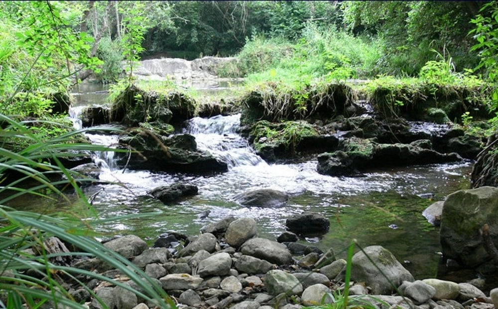
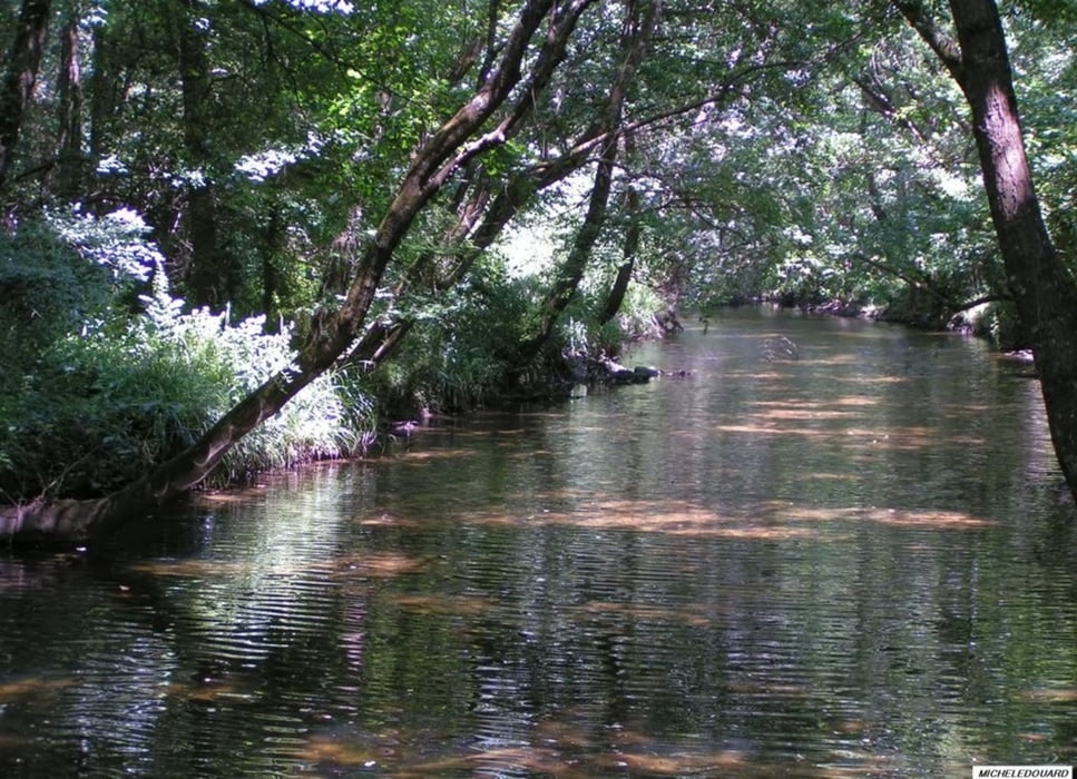
Wunderschöner Weg am Flüßchen La Brague entlang. Ist zu Recht ein Naturschutzgebiet. Man fühlt sich wie in der Eifel so grün ist es da. Kaum zu glauben das man mitten in der Cote Azur ist.
galéria trás
Mapa trasy a výškový profil
Minimum height 99999 m
Maximum height -99999 m
komentáre

GPS trasy
Trackpoints-
GPX / Garmin Map Source (gpx) download
-
TCX / Garmin Training Center® (tcx) download
-
CRS / Garmin Training Center® (crs) download
-
Google Earth (kml) download
-
G7ToWin (g7t) download
-
TTQV (trk) download
-
Overlay (ovl) download
-
Fugawi (txt) download
-
Kompass (DAV) Track (tk) download
-
list trasy (pdf) download
-
Original file of the author (gpx) download
Add to my favorites
Remove from my favorites
Edit tags
Open track
My score
Rate


