
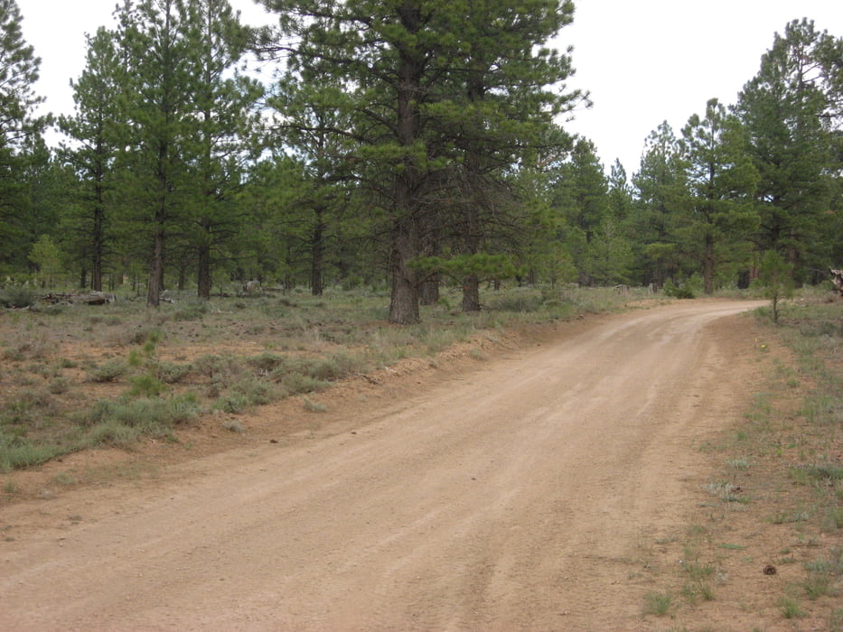

I did this route because it was recommended in my Frommers guide on Colorado, but it wasn't very interesting.
It is actually a track mostly meant for ATVs (quads) and is just a dirt road. There is only a bit of climbing and descending involved, but nohting worth mentioning.
The whole route is through woods and meadows, so even though the track is right next to Bryce Canyon national park, there is no scenery. I did see a lot of deer and pronghorn during my ride at 3 pm. So probably when you get back from some really good riding in the Red Canyon (se my description of the Thunder Mountain trail) you may want to do this as an easy ride at dusk to see wild life up close. That's why I out the fun factor on 3.Mapa trasy a výškový profil
Minimum height 2348 m
Maximum height 2416 m
More about the tour author

|
jvdijk99 |
komentáre

GPS trasy
Trackpoints-
GPX / Garmin Map Source (gpx) download
-
TCX / Garmin Training Center® (tcx) download
-
CRS / Garmin Training Center® (crs) download
-
Google Earth (kml) download
-
G7ToWin (g7t) download
-
TTQV (trk) download
-
Overlay (ovl) download
-
Fugawi (txt) download
-
Kompass (DAV) Track (tk) download
-
list trasy (pdf) download
-
Original file of the author (gpx) download
More about the tour author
|
|
jvdijk99 |
Add to my favorites
Remove from my favorites
Edit tags
Open track
My score
Rate