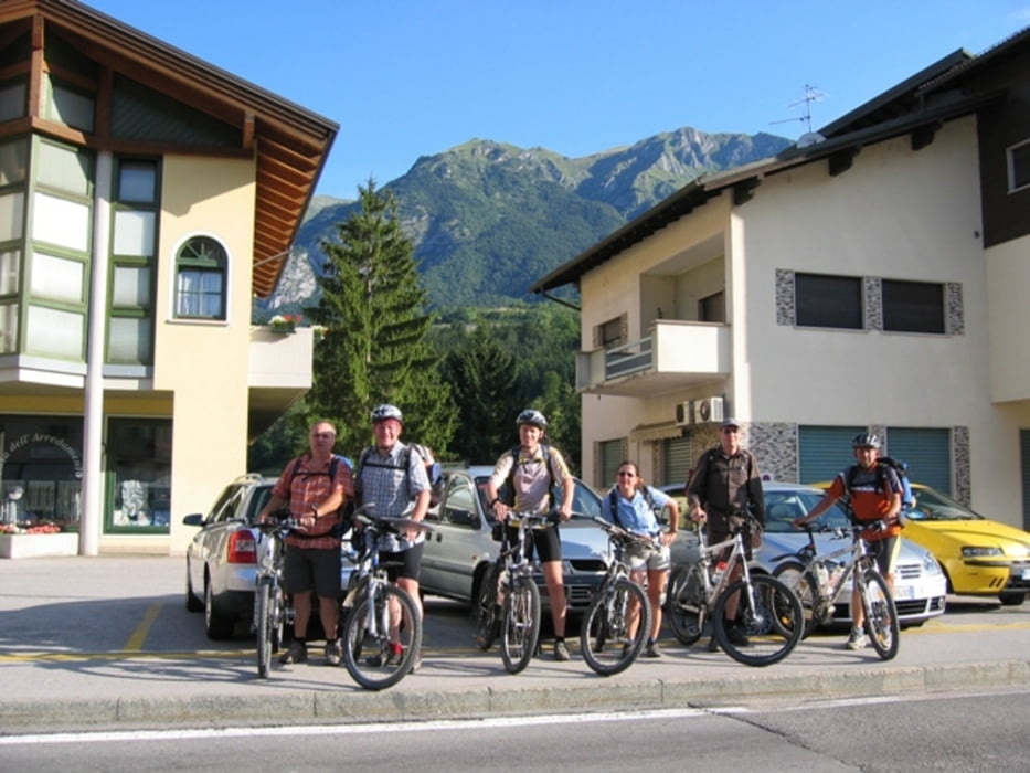
Unser Endspurt von Ponte Arche nach Andalo. Es wird noch mal ein waldiger Anstieg, dann sausen wir hinab zum See. Dort machen wir Mittag in unserer Pizzeria und fahren anschliessend wieder nach Hause!
Zusätzliche Daten: AVS 10 Km/h - max. Spd. 48 Km/h - durchschnittliche Steigung 6% bis max. 20%.
Hinweis: der am 26.07.2009 gefahrene Track wurde fehlerbereinigt und ist vom Stand 02.08.2009.
Wetter: das war unsere zweite niederschlagsfreie Tour! Nur ein Gewitter nachts auf dem Rifugio Graffer!
GPS: Der Track ist fehlerkorrigiert und wurde mit einem Garmin Etrex Vista HCx aufgezeichnet
Einkehr: Kein Problem rund um die Brenta - viel Alimentari, Ristorante usw.
Radtechnik: TREK8000 Hardtail
Schlußwort:
870-166-21072018
Further information at
http://www.schenie.de/galéria trás
Mapa trasy a výškový profil
komentáre

Start in Ponte Arche
Ziel ist in Andalo
Wir sind mit dem MTB und Rucksack unterwegs
Aus meinem Tagebuch:
Sehenswert:
Einkehrmöglichkeit:
Schlußworte:
Radtechnik: TREK8000
GPS: Garmin Etrex Vista HCX
870-166-2018
GPS trasy
Trackpoints-
GPX / Garmin Map Source (gpx) download
-
TCX / Garmin Training Center® (tcx) download
-
CRS / Garmin Training Center® (crs) download
-
Google Earth (kml) download
-
G7ToWin (g7t) download
-
TTQV (trk) download
-
Overlay (ovl) download
-
Fugawi (txt) download
-
Kompass (DAV) Track (tk) download
-
list trasy (pdf) download
-
Original file of the author (gpx) download


