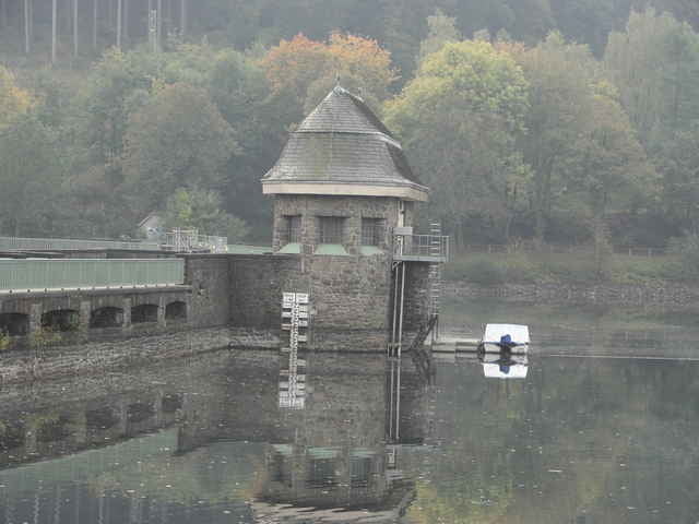
Halbtagestour durch das Bergische Land. Route führt hauptsächlich nur über kleine Straßen und Feldwege.
Macht richtig Spass die Tour zu fahren.
Macht richtig Spass die Tour zu fahren.
Further information at
http://www.tourendeddy.comMapa trasy a výškový profil
Minimum height 77 m
Maximum height 439 m
komentáre

Tour Start A45 Hagen Süd
Tour Ende A43 Witten Herbede
Tour Ende A43 Witten Herbede
GPS trasy
Trackpoints-
GPX / Garmin Map Source (gpx) download
-
TCX / Garmin Training Center® (tcx) download
-
CRS / Garmin Training Center® (crs) download
-
Google Earth (kml) download
-
G7ToWin (g7t) download
-
TTQV (trk) download
-
Overlay (ovl) download
-
Fugawi (txt) download
-
Kompass (DAV) Track (tk) download
-
list trasy (pdf) download
-
Original file of the author (gpx) download
Add to my favorites
Remove from my favorites
Edit tags
Open track
My score
Rate

