Login

Zabudli ste prihlasovacia meno

Cookies have to be accepted!
Your browser's cookie functionality is disabled. Please enable this functionality.

Not a member yet?

Register now
Login

Available for registred users only

Log in to use this feature.

Zabudli ste prihlasovacia meno

Cookies have to be accepted!
Your browser's cookie functionality is disabled. Please enable this functionality.

Not a member yet?

Register now
Filter
Kategórie
Advanced filters
  • Dĺžka (km)
  • výškomer
Uložiť filter Reset filter

TrackRank

QRCode

Technical data

Dĺžka8,5 km výškomer456 m Way down460 m Doba00:00 h:m dátum14.07.2009
ohodnotenia Author Kraj pôžitok z túry kondícia technika

štatistika

6216 náhľady ohodnotenia 151 Stiahnutia priemer
Rate
  • list trasy
  • príjazd
  • Stiahnutia
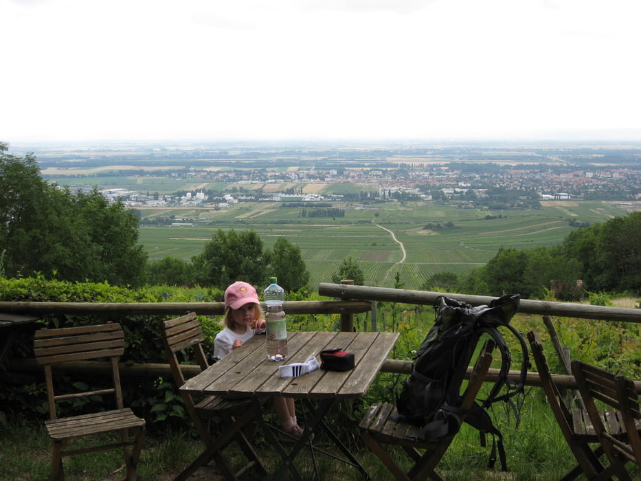
Ich hab die ganze Strecke meine 3 jährige Tocher auf den Schultern getragen - ich denke, ohne diesem zusätzlichen Gepäck wäre der Sparfaktor höher gewesen! Schöne Landschaft und flexible Routenführung lassen unzählige Varianten zu. Achtung die Hütten haben MO und DI Ruhetag.

Mapa trasy a výškový profil

  • Open Street Map
  • Google
Minimum height 254 m Maximum height 685 m Detailný pohľad

More about the tour author

huberj59
Member since 2009

Send private message

komentáre

Gumpoldskirchen, kleiner Parkplatz im Ort, rauf Richtung Kalvarienberg und Hubertushütte. Dann ist der Weg markiert - oder siehe meinen Track.

GPS trasy

Trackpoints
  • GPX / Garmin Map Source (gpx) download
  • TCX / Garmin Training Center® (tcx) download
  • CRS / Garmin Training Center® (crs) download
  • Google Earth (kml) download
  • G7ToWin (g7t) download
  • TTQV (trk) download
  • Overlay (ovl) download
  • Fugawi (txt) download
  • Kompass (DAV) Track (tk) download
  • list trasy (pdf) download
  • Original file of the author (gpx) download

More about the tour author

huberj59
Member since 2009

Send private message
Share track
Add to my favorites
Remove from my favorites
Edit tags
My score
Rate
trasa: Gumpoldskirchen - Anninger - Wilhelmswarte
Druh: trasa
Dĺžka: 8,5 km
Evaluated on:
Doba:
Day(s)
Hour(s)
Minute(s)
ohodnotenie: Kraj pôžitok z túry kondícia technika