Es geht durch eine bizarre Landschaft. Das Ziel ist eine kleine Bergkirche. Bis auf einen steilen grobschottrigen Anstieg und eine teilweise stark ausgewaschene Abfahrt keine allzu schwere Tour.
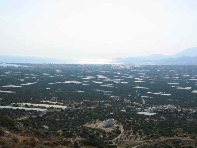
Von der Bergkirche aus, Ausblick auf Ierapetra an der Südküste und eine große Zahl von Gewächshäusern.
Von der Bergkirche aus, Ausblick auf Ierapetra an der Südküste und eine große Zahl von Gewächshäusern.
galéria trás
Mapa trasy a výškový profil
Minimum height -34 m
Maximum height 179 m
komentáre

GPS trasy
Trackpoints-
GPX / Garmin Map Source (gpx) download
-
TCX / Garmin Training Center® (tcx) download
-
CRS / Garmin Training Center® (crs) download
-
Google Earth (kml) download
-
G7ToWin (g7t) download
-
TTQV (trk) download
-
Overlay (ovl) download
-
Fugawi (txt) download
-
Kompass (DAV) Track (tk) download
-
list trasy (pdf) download
-
Original file of the author (g7t) download
Add to my favorites
Remove from my favorites
Edit tags
Open track
My score
Rate


