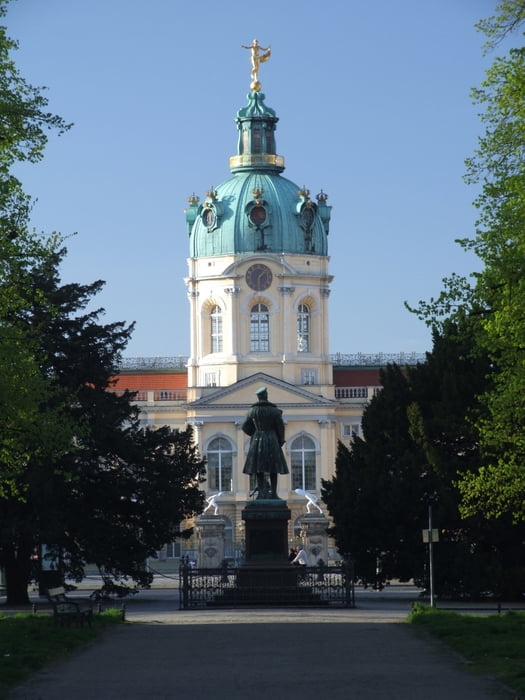
Die Rundtour beginnt und endet am Schloß Charlottenburg in Berlin, kann aber auch von allen anderen Punkten leicht erreicht werdeb.
Die Strecke folgt anfangs dem Fernradweg Berlin-Koenhagen, geht dann aber bald weiter entlang der Havelchaussee richtung Potsdam. Am Ende fährt man über die Avus zurück nach Charlottenburg.
Die Wege sind allesamt gut ausgebau und auch für Rennräder geeignet.
Mapa trasy a výškový profil
Minimum height 24 m
Maximum height 73 m
komentáre

Die Tour kann von vershiedenen S- und U-Bahnhöfen leicht erreicht werden.
GPS trasy
Trackpoints-
GPX / Garmin Map Source (gpx) download
-
TCX / Garmin Training Center® (tcx) download
-
CRS / Garmin Training Center® (crs) download
-
Google Earth (kml) download
-
G7ToWin (g7t) download
-
TTQV (trk) download
-
Overlay (ovl) download
-
Fugawi (txt) download
-
Kompass (DAV) Track (tk) download
-
list trasy (pdf) download
-
Original file of the author (gpx) download
Add to my favorites
Remove from my favorites
Edit tags
Open track
My score
Rate

