


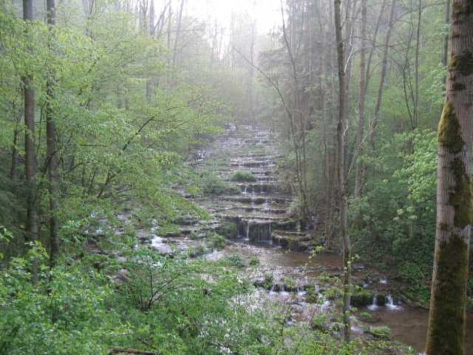
Die Tour führt von Igensdorf nach Gräfenberg. Von Gräfenberg folgt sie dem Frankenweg nach Egloffstein. Von Egloffstein fahren wir den Trubachtalradweg weiter nach Untertrubach. Ab Untertubach biegen wir wieder auf die Straße ein und folgen dieser bis Obertubach. Hier kann man in der Alten Post gut Essen oder im Kaffee am Ortseingang im Garten Kaffee trinken. Von Obertrubach müssen wir die Straße kurz zurück befor wir links abbiegen und über Schossaritz nach Hilpoldstein und zur Lillach fahren. An den Sinterterassen muss das Rad kurz geschoben werden. Über Dorfhaus geht es zurück.
Bis Obertrubach finden sich überall schöne Einkehrmöglichkeiten.
galéria trás


Mapa trasy a výškový profil
Minimum height 333 m
Maximum height 534 m
More about the tour author
|
|
Rodforer |
komentáre

Mit Gräfenbergbahn oder Auto nach Igensdorf
GPS trasy
Trackpoints-
GPX / Garmin Map Source (gpx) download
-
TCX / Garmin Training Center® (tcx) download
-
CRS / Garmin Training Center® (crs) download
-
Google Earth (kml) download
-
G7ToWin (g7t) download
-
TTQV (trk) download
-
Overlay (ovl) download
-
Fugawi (txt) download
-
Kompass (DAV) Track (tk) download
-
list trasy (pdf) download
-
Original file of the author (gpx) download
More about the tour author
|
|
Rodforer |
Add to my favorites
Remove from my favorites
Edit tags
Open track
My score
Rate