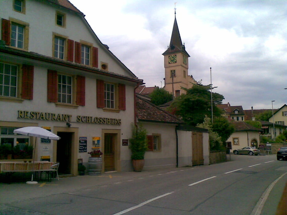
Start bei der Rotarybrücke, entlang des Gemüsepfades bis Kerzers. Über Landwirtschaftsweege und eine kurze Naturstrasse bis Niederried. Hinunter an die Aare und über die Fahhradbrücke, dann auf dem Uferweg entlang der Aare bis Aarberg. Entlang des Hagneckkanals bis zur Einmündung in den Bielersee. Auf dem Uferweg bis Erlach, von dort zum Zihlkanal. Wieder auf dem Gemüsepfad über Ins zurück zur Rotarybrücke.
Mapa trasy a výškový profil
Minimum height 383 m
Maximum height 470 m
komentáre

Camping Les 3 Lacs, Kerzers, Aarberg, Erlach oder Ins
GPS trasy
Trackpoints-
GPX / Garmin Map Source (gpx) download
-
TCX / Garmin Training Center® (tcx) download
-
CRS / Garmin Training Center® (crs) download
-
Google Earth (kml) download
-
G7ToWin (g7t) download
-
TTQV (trk) download
-
Overlay (ovl) download
-
Fugawi (txt) download
-
Kompass (DAV) Track (tk) download
-
list trasy (pdf) download
-
Original file of the author (gpx) download
Add to my favorites
Remove from my favorites
Edit tags
Open track
My score
Rate

