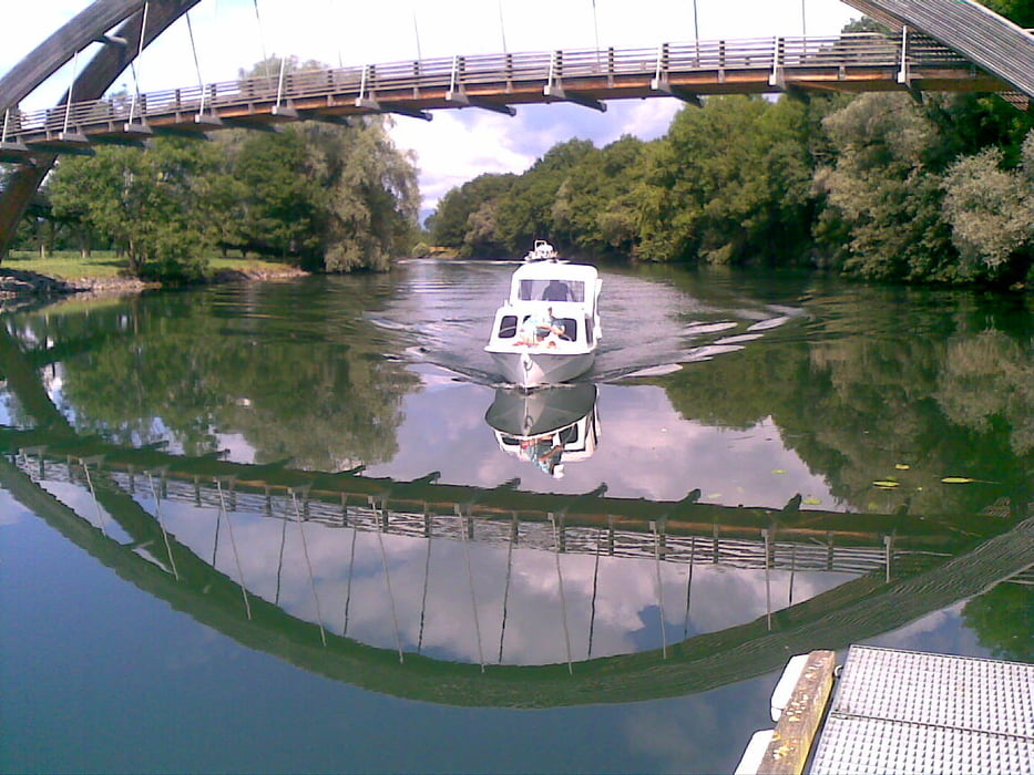
Auf Landwirtschaftswegen bis Cudrefin. Kurze Steigung und gleich wiede reine Abfahrt. Schwache Steigung bis Champmartin, hinunter in das Brayetal. Auf betonierten Wegen bis Salavaux dann auf der Nebenstrasse duch da Weinanbaugebiet Vully bis Sugiez und zurück zur Rotarybrücke
Mapa trasy a výškový profil
Minimum height 418 m
Maximum height 510 m
komentáre

Camping les 3 Lacs
Cudrefin
Salavaux
GPS trasy
Trackpoints-
GPX / Garmin Map Source (gpx) download
-
TCX / Garmin Training Center® (tcx) download
-
CRS / Garmin Training Center® (crs) download
-
Google Earth (kml) download
-
G7ToWin (g7t) download
-
TTQV (trk) download
-
Overlay (ovl) download
-
Fugawi (txt) download
-
Kompass (DAV) Track (tk) download
-
list trasy (pdf) download
-
Original file of the author (gpx) download
Add to my favorites
Remove from my favorites
Edit tags
Open track
My score
Rate

