Login

Zabudli ste prihlasovacia meno

Cookies have to be accepted!
Your browser's cookie functionality is disabled. Please enable this functionality.

Not a member yet?

Register now
Login

Available for registred users only

Log in to use this feature.

Zabudli ste prihlasovacia meno

Cookies have to be accepted!
Your browser's cookie functionality is disabled. Please enable this functionality.

Not a member yet?

Register now
Filter
Kategórie
Advanced filters
  • Dĺžka (km)
  • výškomer
Uložiť filter Reset filter

TrackRank

QRCode

Technical data

Dĺžka14,8 km výškomer314 m Way down316 m Doba03:00 h:m dátum18.07.2009
ohodnotenia Author User Kraj pôžitok z túry kondícia technika

štatistika

1257 náhľady 1 ohodnotenie 111 Stiahnutia 3.00 priemer
Rate
  • list trasy
  • príjazd
  • Stiahnutia
Die Tour beginnt in Wilnsdorf Bauhof. Dort ist ein Parkplatz, und sogar eine Wohnmobilentsorgung. Dann gehts hinauf Richtung Kalteiche, über die Höhe nach Wilgersdorf, und wieder zurück nach Wilnsdorf. 
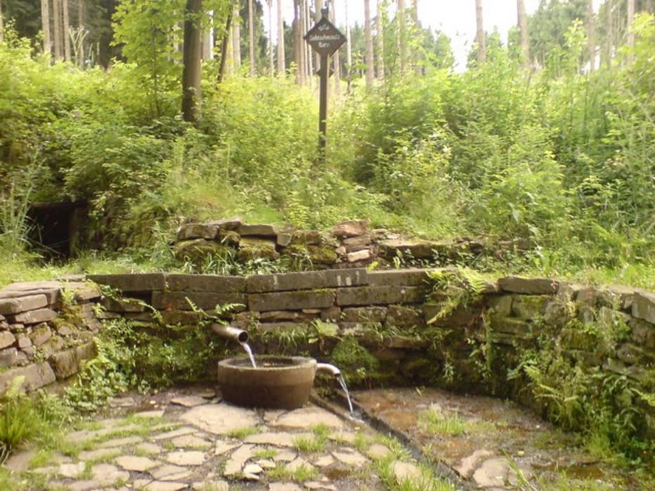
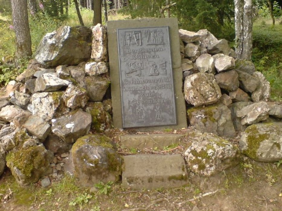
Unterwegs gibts viele Stollen, einige Quellen, und schöne Ausblicke

galéria trás

Mapa trasy a výškový profil

  • Open Street Map
  • Google
Minimum height 413 m Maximum height 553 m Detailný pohľad

More about the tour author

Sejerlenner
Member since 2008

Send private message

komentáre

Die Tour beginnt in Wilnsdorf Bauhof. Meine Tour begann auf der Höhe, kurz vor Briedoffelsloch, die Höhenangaben sind daher um ca. 5 km zu verschieben

GPS trasy

Trackpoints
  • GPX / Garmin Map Source (gpx) download
  • TCX / Garmin Training Center® (tcx) download
  • CRS / Garmin Training Center® (crs) download
  • Google Earth (kml) download
  • G7ToWin (g7t) download
  • TTQV (trk) download
  • Overlay (ovl) download
  • Fugawi (txt) download
  • Kompass (DAV) Track (tk) download
  • list trasy (pdf) download
  • Original file of the author (gpx) download

More about the tour author

Sejerlenner
Member since 2008

Send private message
Share track
Add to my favorites
Remove from my favorites
Edit tags
My score
Rate
trasa: Wandertour Wilnsdorfer Grubenwanderweg
Druh: trasa
Dĺžka: 14,8 km
Evaluated on:
Doba:
Day(s)
Hour(s)
Minute(s)
ohodnotenie: Kraj pôžitok z túry kondícia technika