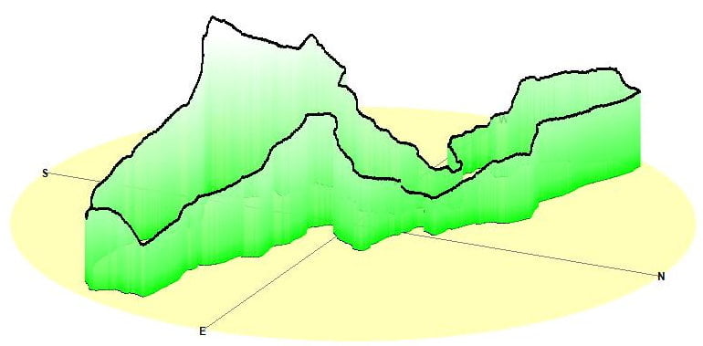
Wanderung beim Ahrtaler Gipfelfest 2009 zur Bengener Heide.
Start ist bei Sport Nett am Bahnhof in Ahrweiler. Von dort geht es über die Prof. Wagner Hütte auf den Segelflugplatz Bengener Heide.
Mapa trasy a výškový profil
Minimum height 95 m
Maximum height 208 m
komentáre

GPS trasy
Trackpoints-
GPX / Garmin Map Source (gpx) download
-
TCX / Garmin Training Center® (tcx) download
-
CRS / Garmin Training Center® (crs) download
-
Google Earth (kml) download
-
G7ToWin (g7t) download
-
TTQV (trk) download
-
Overlay (ovl) download
-
Fugawi (txt) download
-
Kompass (DAV) Track (tk) download
-
list trasy (pdf) download
-
Original file of the author (gpx) download
Add to my favorites
Remove from my favorites
Edit tags
Open track
My score
Rate

