Login

Zabudli ste prihlasovacia meno

Cookies have to be accepted!
Your browser's cookie functionality is disabled. Please enable this functionality.

Not a member yet?

Register now
Login

Available for registred users only

Log in to use this feature.

Zabudli ste prihlasovacia meno

Cookies have to be accepted!
Your browser's cookie functionality is disabled. Please enable this functionality.

Not a member yet?

Register now
Filter
Kategórie
Advanced filters
  • Dĺžka (km)
  • výškomer
Uložiť filter Reset filter

TrackRank

QRCode

Technical data

Dĺžka297,3 km výškomer604 m Way down165 m Doba01:00 h:m dátum28.07.2009
ohodnotenia Author Kraj pôžitok z túry kondícia technika

štatistika

236 náhľady ohodnotenia 18 Stiahnutia priemer
Rate
  • list trasy
  • príjazd
  • Stiahnutia
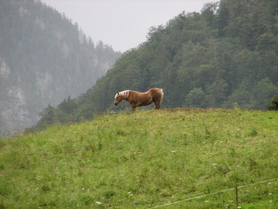
Hier eine kleine Runde um Ruhpolding, leider war ein Fehler im Tracking, bitte ignorieren. Die Strecke verläuft teilweise entlang der "Ruhpoldinger Dorfrunde" vom Radl Sepp. 

Mapa trasy a výškový profil

  • Open Street Map
  • Google
Minimum height 263 m Maximum height 741 m Detailný pohľad

More about the tour author

Ulli1962
Member since 2009

Send private message

komentáre

GPS trasy

Trackpoints
  • GPX / Garmin Map Source (gpx) download
  • TCX / Garmin Training Center® (tcx) download
  • CRS / Garmin Training Center® (crs) download
  • Google Earth (kml) download
  • G7ToWin (g7t) download
  • TTQV (trk) download
  • Overlay (ovl) download
  • Fugawi (txt) download
  • Kompass (DAV) Track (tk) download
  • list trasy (pdf) download
  • Original file of the author (gpx) download

More about the tour author

Ulli1962
Member since 2009

Send private message
Share track
Add to my favorites
Remove from my favorites
Edit tags
My score
Rate
trasa: Biken in Ruhpolding / Dorfrunde
Druh: horský bicykel
Dĺžka: 297,3 km
Evaluated on:
Doba:
Day(s)
Hour(s)
Minute(s)
ohodnotenie: Kraj pôžitok z túry kondícia technika