Login

Zabudli ste prihlasovacia meno

Cookies have to be accepted!
Your browser's cookie functionality is disabled. Please enable this functionality.

Not a member yet?

Register now
Login

Available for registred users only

Log in to use this feature.

Zabudli ste prihlasovacia meno

Cookies have to be accepted!
Your browser's cookie functionality is disabled. Please enable this functionality.

Not a member yet?

Register now
Filter
Kategórie
Advanced filters
  • Dĺžka (km)
  • výškomer
Uložiť filter Reset filter

TrackRank

QRCode

Technical data

Dĺžka15,5 km výškomer853 m Way down835 m Doba06:15 h:m dátum28.07.2009
ohodnotenia Author Kraj pôžitok z túry kondícia technika

štatistika

2664 náhľady ohodnotenia 241 Stiahnutia priemer
Rate
  • list trasy
  • príjazd
  • Stiahnutia

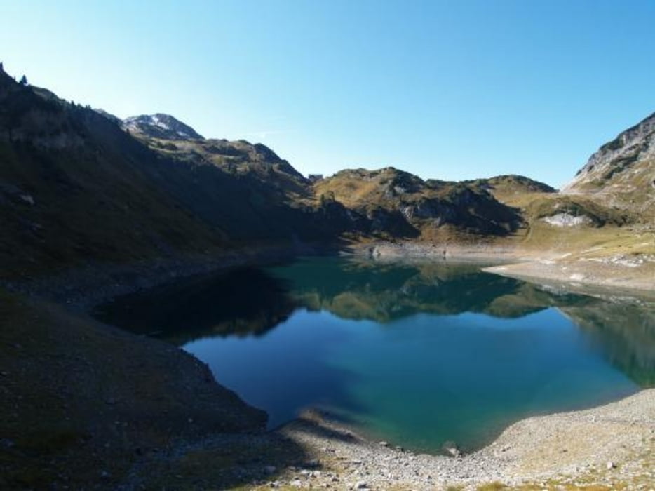
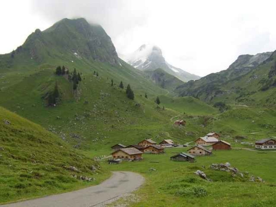
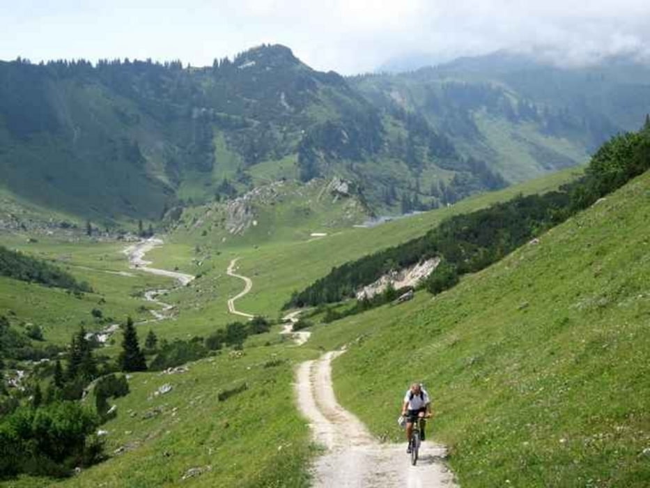
Aussergewöhlich schöne Höhenwanderung. Die anfängliche Steigung mündet bald in einen mehr oder wenig ebenen Wanderweg, bis es dann steil zur Oberen Laguzalpe und zur Laguzalpe hinunterführt. Von der Laguzalpe gehts dann wieder kurz hinauf und gleich wieder runter zur Klesenzaalpe. Von dort führt der ständig ansteigende Weg von ca. 1570 auf 2090 Höhenmeter hinauf. Oben erreicht man eine Ebene, die vom Gletscher, der mittlerweile weggeschmolzen ist, stark zerfurcht ist, ähnlich dem Gottesackerplateau im Kleinen Walsertal. Wir bekamen Murmeltiere und eine Birkhenne zu Gesicht.

Laut Jagdaufseher leben hier auch einige Steinböcke.

Further information at

http://www.vorarlberg.com/sommer/arlberg/lech/wandern/rund-um-die-rote-wand/freiburger-hoehenweg-formarinsee-klesenzatal

galéria trás

Mapa trasy a výškový profil

  • Open Street Map
  • Google
Minimum height 1559 m Maximum height 2090 m Detailný pohľad

More about the tour author

sekretaer007
Member since 2008

Send private message

komentáre

Entweder wie wir, in Lech das Auto parken und ab Postamt Lech mit dem Bus Nummer 7 zum Formarinsee. Oder mit dem Auto zum Formarinsee. Bis 8.00 und ab 16.30 wieder, kann die Mautstrasse Zug-Formarinsee mit Privatautos befahren werden.

GPS trasy

Trackpoints
  • GPX / Garmin Map Source (gpx) download
  • TCX / Garmin Training Center® (tcx) download
  • CRS / Garmin Training Center® (crs) download
  • Google Earth (kml) download
  • G7ToWin (g7t) download
  • TTQV (trk) download
  • Overlay (ovl) download
  • Fugawi (txt) download
  • Kompass (DAV) Track (tk) download
  • list trasy (pdf) download
  • Original file of the author (gpx) download

More about the tour author

sekretaer007
Member since 2008

Send private message
Share track
Add to my favorites
Remove from my favorites
Edit tags
My score
Rate
trasa: Rund um die Rote Wand
Druh: trasa
Dĺžka: 15,5 km
Evaluated on:
Doba:
Day(s)
Hour(s)
Minute(s)
ohodnotenie: Kraj pôžitok z túry kondícia technika