


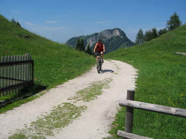
Beginn der Tour ist am Parkplatz "Am Schwimmbad" in Nussdorf. Es ist eine herrliche Tour an heissen Sommertagen, da man bergauf viel im Schatten der Bäume fährt. Nach anstrengender Auffahrt kommt man am höchsten Punkt zur Kranzhornhütte auf der man in jeden Fall einkehren solte. Runter gehts über den Erlerberg und am Inndamm zurück zum Ausgangpunkt. Wer Lust hat kann hier im Sommer noch ins Schwimmbad gehen wenn du die Badehose nicht vergessen hast.
galéria trás
Mapa trasy a výškový profil
Minimum height 480 m
Maximum height 1221 m
More about the tour author

|
Elias Laar |
komentáre
Autobahn München-Innsbruck, Ausfahrt Brannenburg/Nussdorf (2 Ausfahrt nach den Inntaldreieck) In Nussdorf ca. 1 km in Richtung Erl. Ausgangspunkt ist der Parkplatz am Schwimmbad in Nussdorf. ( neben dem Sportplatz/Tennisplatz )
GPS trasy
Trackpoints-
GPX / Garmin Map Source (gpx) download
-
TCX / Garmin Training Center® (tcx) download
-
CRS / Garmin Training Center® (crs) download
-
Google Earth (kml) download
-
G7ToWin (g7t) download
-
TTQV (trk) download
-
Overlay (ovl) download
-
Fugawi (txt) download
-
Kompass (DAV) Track (tk) download
-
list trasy (pdf) download
-
Original file of the author (g7t) download
More about the tour author
|
|
Elias Laar |
Add to my favorites
Remove from my favorites
Edit tags
Open track
My score
Rate
Anstrengender Anstieg