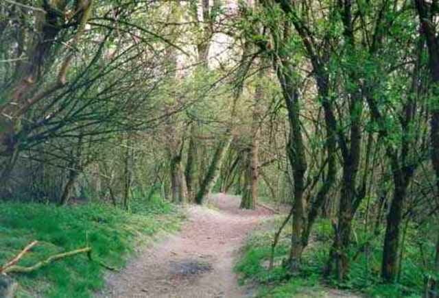
Eine weitere sehr empfehlenswerte Variante von der GIS über den Haselgraben zurüch nach Linz. Wir fahren hier schier endlos durch verlohrene Wälder und das direkt neben der Großstadt - herrlich.
galéria trás
Mapa trasy a výškový profil
Minimum height 182 m
Maximum height 874 m
komentáre
Beliebige Anfahrt auf die GIS wählen. Wir sind vom Toyota Händler direkt am Beginn des Haselgrabens auf die GIS gestartet.
GPS trasy
Trackpoints-
GPX / Garmin Map Source (gpx) download
-
TCX / Garmin Training Center® (tcx) download
-
CRS / Garmin Training Center® (crs) download
-
Google Earth (kml) download
-
G7ToWin (g7t) download
-
TTQV (trk) download
-
Overlay (ovl) download
-
Fugawi (txt) download
-
Kompass (DAV) Track (tk) download
-
list trasy (pdf) download
-
Original file of the author (g7t) download
Add to my favorites
Remove from my favorites
Edit tags
Open track
My score
Rate


genuss
bin wieder voll motiviert für den fürhling. klasse page und touren hier.
ciao ure
www.o-r-a-c.at
fein
leider