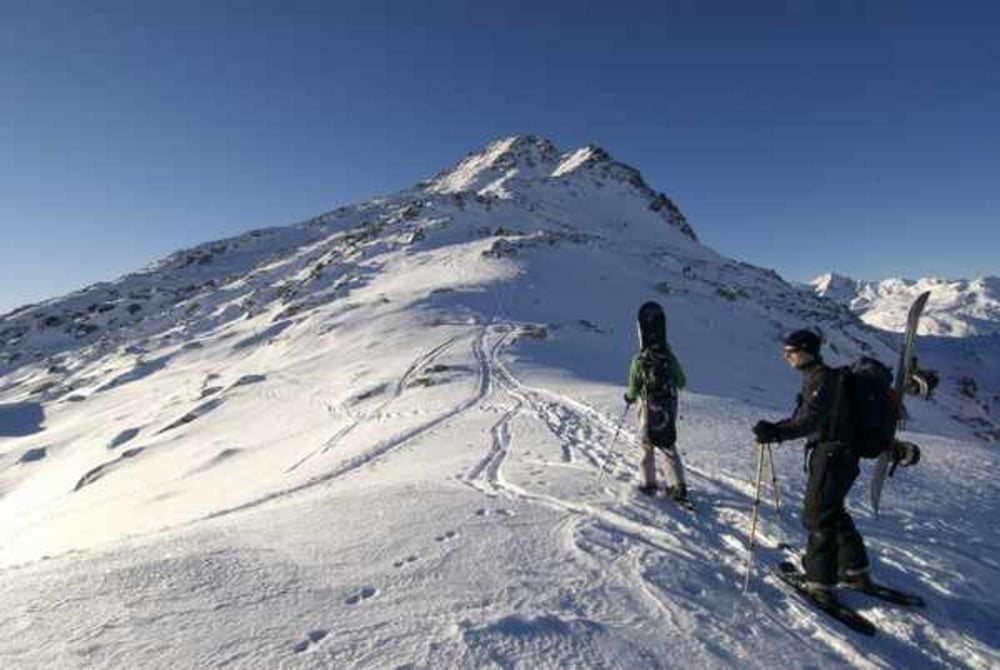
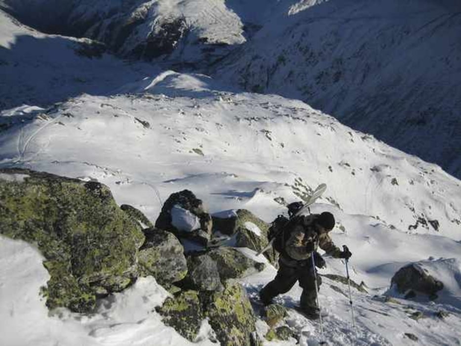
Aufstieg von Hospental entlang der Skilifte (nicht in Betrieb) sehr einfach und relativ flach. Gipfel vom Skidepot zu Fuss besteigen. Abfahrt nach Realp rasant und steil (ca. 30min.). Unterer Teil mit Erlenstauden bewachsen. Mit dem Zug von Realp zurück nach Hospental.
Further information at
http://winterhorn.chgaléria trás
Mapa trasy a výškový profil
Minimum height 1511 m
Maximum height 2619 m
komentáre

Luzern Richtung Gotthard, Andermatt Gotthardpass, Hospental Talstation (Lifte nicht in Betrieb!!!).
GPS trasy
Trackpoints-
GPX / Garmin Map Source (gpx) download
-
TCX / Garmin Training Center® (tcx) download
-
CRS / Garmin Training Center® (crs) download
-
Google Earth (kml) download
-
G7ToWin (g7t) download
-
TTQV (trk) download
-
Overlay (ovl) download
-
Fugawi (txt) download
-
Kompass (DAV) Track (tk) download
-
list trasy (pdf) download
-
Original file of the author (gpx) download
Add to my favorites
Remove from my favorites
Edit tags
Open track
My score
Rate


