


Von Stuttgart über Fellbach Winnenden Backnang bis Murrhardt
und an Wasserfällen vorbei wieder zurück
galéria trás

Mapa trasy a výškový profil
Minimum height 224 m
Maximum height 537 m
More about the tour author
|
|
ulrichwild |
komentáre
GPS trasy
Trackpoints-
GPX / Garmin Map Source (gpx) download
-
TCX / Garmin Training Center® (tcx) download
-
CRS / Garmin Training Center® (crs) download
-
Google Earth (kml) download
-
G7ToWin (g7t) download
-
TTQV (trk) download
-
Overlay (ovl) download
-
Fugawi (txt) download
-
Kompass (DAV) Track (tk) download
-
list trasy (pdf) download
-
Original file of the author (gpx) download
More about the tour author
|
|
ulrichwild |
Add to my favorites
Remove from my favorites
Edit tags
Open track
My score
Rate
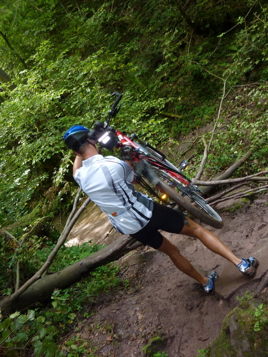
Tour mit Thomas
Wir sind von Stuttgart über Fellbach, Winnenden Backnang in den Schwäbischen Wald bis Murrhardt gefahren. Von dort gings an Wasserfällen vorbei wieder zurück nach Stuttgart.