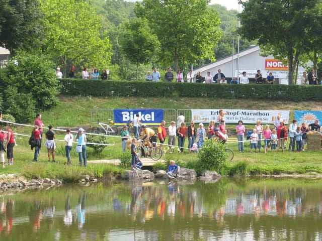
Audfzeichnung der Mitteldistanz vom Erbeskopfmarathon 2006.
Recht hoher Singeltrailanteil, Tour die Spaß macht. Einzelne Wege waren wohl für den Marathon angelegt worden, hier muß man sehen wie man über die eine oder andere Wiese kommt,´wenn da mal nicht gemäht ist.
Trocken war die Strecke super toll, naß möchte ich sie nicht fahren.
Recht hoher Singeltrailanteil, Tour die Spaß macht. Einzelne Wege waren wohl für den Marathon angelegt worden, hier muß man sehen wie man über die eine oder andere Wiese kommt,´wenn da mal nicht gemäht ist.
Trocken war die Strecke super toll, naß möchte ich sie nicht fahren.
Further information at
http://www.erbeskopfmarathon.deMapa trasy a výškový profil
Minimum height 383 m
Maximum height 815 m
komentáre
Autobahnabfahrt Mehring / Thalfang von der A1. Ab hier immer Richtung Thalfang halten.
Nette Übernachtungsmöglichkeit: Landhaus Berghof (0049) 6504-91380
Nette Übernachtungsmöglichkeit: Landhaus Berghof (0049) 6504-91380
GPS trasy
Trackpoints-
GPX / Garmin Map Source (gpx) download
-
TCX / Garmin Training Center® (tcx) download
-
CRS / Garmin Training Center® (crs) download
-
Google Earth (kml) download
-
G7ToWin (g7t) download
-
TTQV (trk) download
-
Overlay (ovl) download
-
Fugawi (txt) download
-
Kompass (DAV) Track (tk) download
-
list trasy (pdf) download
-
Original file of the author (g7t) download
Add to my favorites
Remove from my favorites
Edit tags
Open track
My score
Rate


Nass nicht fahren?
wir sind die Strecke dieses Jahr gefahren und: sie war nass! Und nicht ohne...
Dieses Jahr war's wieder trocken
dieses Jahr sind wir den (Halb-)Marathon nochmal mitgefahren: Die Strecke macht trocken bedeutend mehr Spass ;-)
Schöne Grüße
Conzi