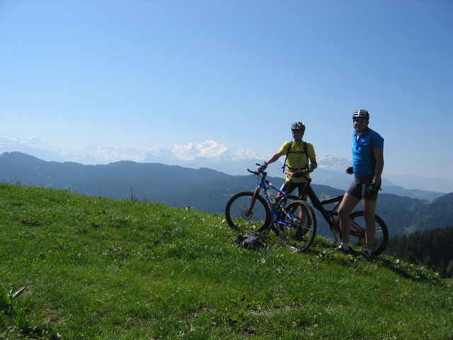
Ideale Starttour, die von der Liftanlage Chavannes zuerst durch den Ort und dann nach Süd Westen in den Hang des Mont Chery führt. Eventuell je nach Fahrtkönnen und Witterung kleine Schiebepassagen bis zum Aufstieg auf Halber Höhe des Mont Chery. Von hier aus wird der Berg auf guten Forstwegen und später auf einen Singletrail, der ein wenig Fahrkönnen und Mut bedarf, umrundet bevor der Gipfel auf einem breiten aber teilweise auch steileren Weg erklommen wird. Die Abfahrt erfolgt zum Teil auf dem Weg des Aufstieges und später auf Schotter und Asphaltstrassen bis zurück ins Tal.
Einkehrmöglichkeiten an der Mittelstation der Seilbahn zum Mont Chery.
Einkehrmöglichkeiten an der Mittelstation der Seilbahn zum Mont Chery.
Further information at
http://www.portesdusoleil.comgaléria trás
Mapa trasy a výškový profil
Minimum height 1156 m
Maximum height 1830 m
komentáre

Les Gets liegt im am Rande des Portes Du Soleil - als Skigebiet vor Jahren aufgebaut und nun sich im Sommer immer mehr den Mountain Bikern zuwendend. Von Deutschland (Stuttgart) erreicht man Les Gets über die Schweiz - Schaffhausen - Bern - Fribourg - Montreux - Evian - ca. 500km
GPS trasy
Trackpoints-
GPX / Garmin Map Source (gpx) download
-
TCX / Garmin Training Center® (tcx) download
-
CRS / Garmin Training Center® (crs) download
-
Google Earth (kml) download
-
G7ToWin (g7t) download
-
TTQV (trk) download
-
Overlay (ovl) download
-
Fugawi (txt) download
-
Kompass (DAV) Track (tk) download
-
list trasy (pdf) download
-
Original file of the author (gpx) download
Add to my favorites
Remove from my favorites
Edit tags
Open track
My score
Rate


