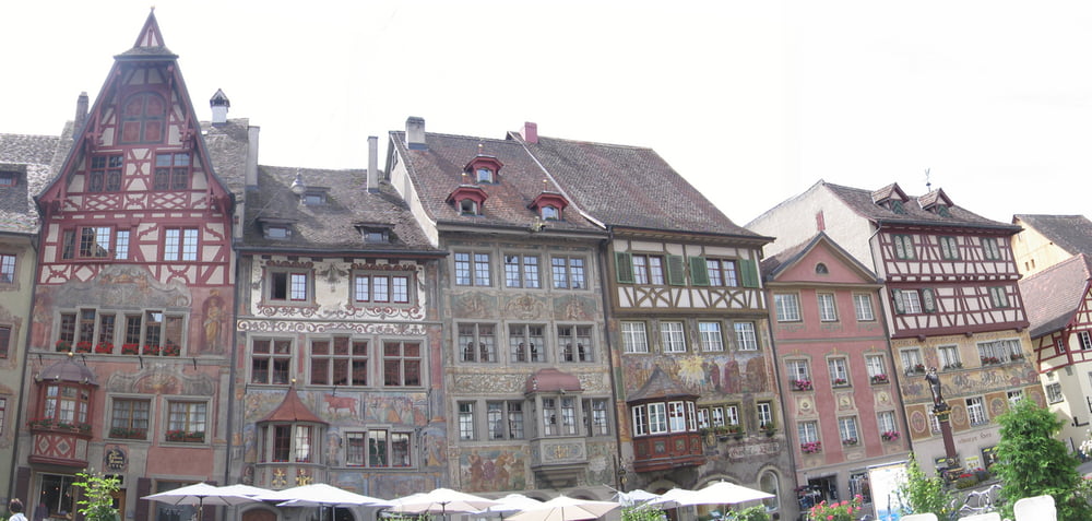
Eine Variante der klassischen Bodenseerunde mit einen kleinen Abstecher nach Wahlwies. Der Bodenseeradweg ist jedoch, vorallem auf der Schweizer Seite so gut ausgeschildert das es eigentlich keine GPS Daten bedarf um ihn abzufahren.
galéria trás
Mapa trasy a výškový profil
Minimum height 357 m
Maximum height 473 m
komentáre

GPS trasy
Trackpoints-
GPX / Garmin Map Source (gpx) download
-
TCX / Garmin Training Center® (tcx) download
-
CRS / Garmin Training Center® (crs) download
-
Google Earth (kml) download
-
G7ToWin (g7t) download
-
TTQV (trk) download
-
Overlay (ovl) download
-
Fugawi (txt) download
-
Kompass (DAV) Track (tk) download
-
list trasy (pdf) download
-
Original file of the author (gpx) download
Add to my favorites
Remove from my favorites
Edit tags
Open track
My score
Rate


