


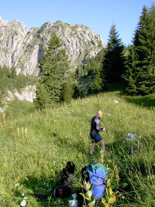
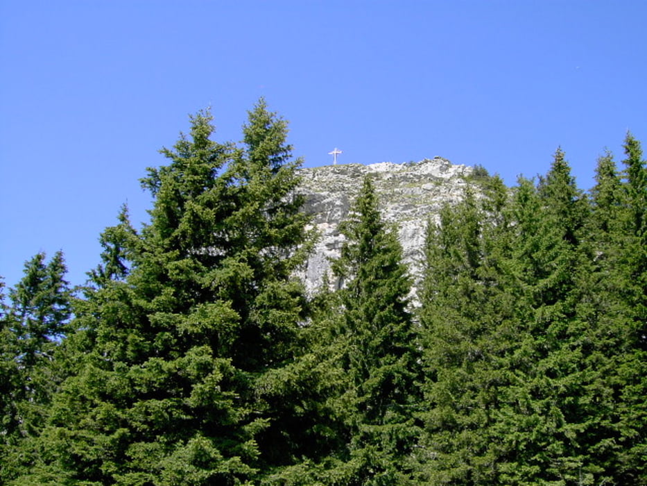
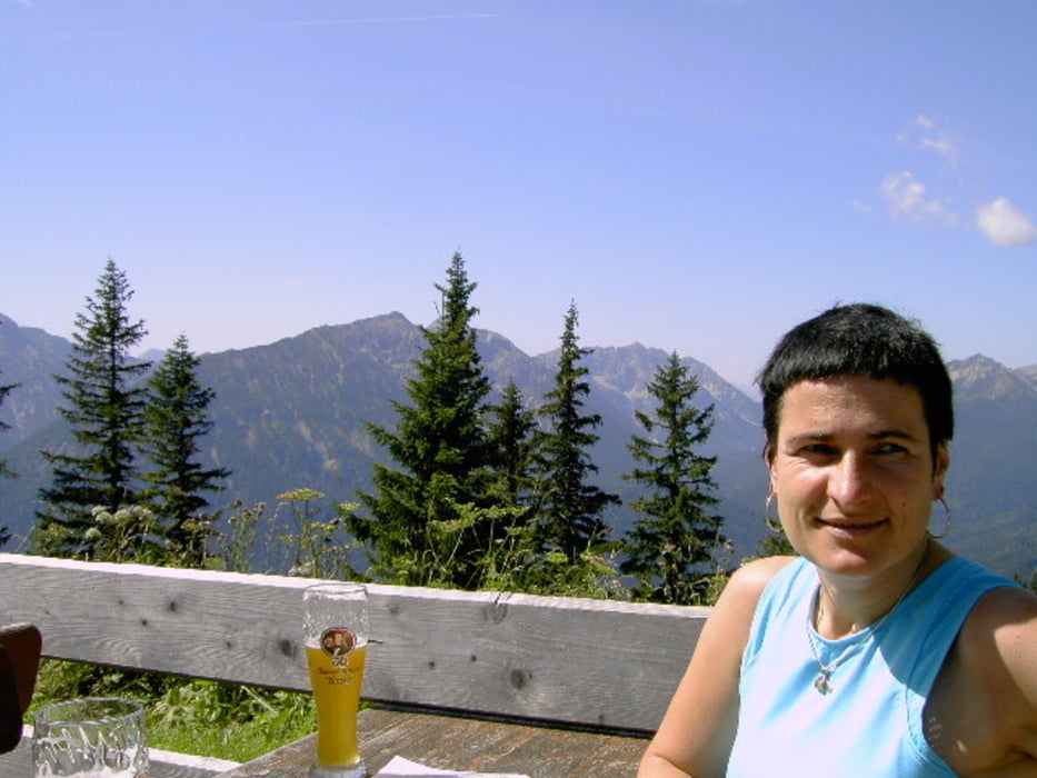
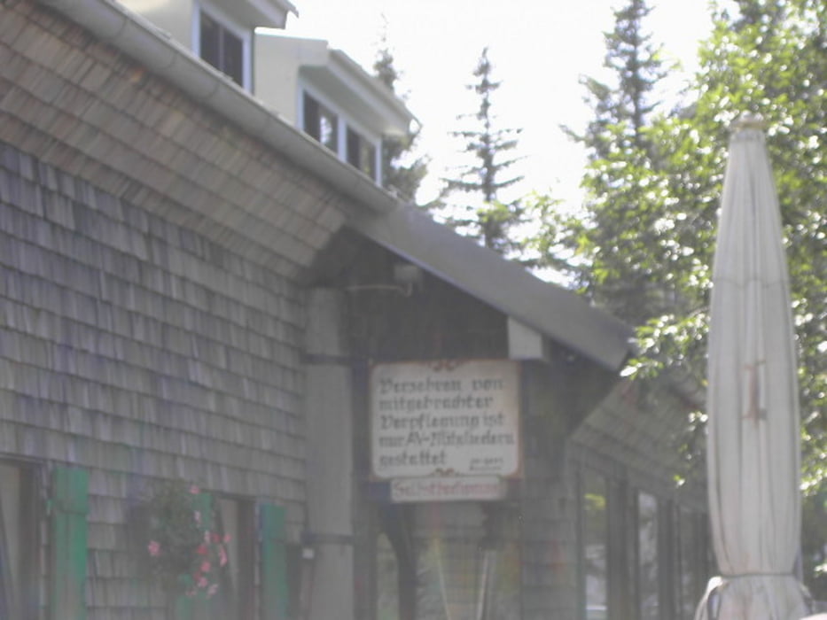
Vom Schloß Linderhof erstmal so ne halbe Stunde dahindödeln. Dann geht es steiler hinauf bis aufs Pürschlinghaus. Dort unbedingt eine kleine Pause einlegen. Anschließend am Teufelstättkopf vorbei oder einfach mitnehmen und bisschen ausgesetzt hinüber zum Anstieg zum Hennenkopf. Dort mit ein klein wenig Aufwand hinauf und nach der Rast weiter zu den Brunnenkopfhäusern. Dort muß man ein wenig aufpassen, da die Wirtsleute anscheinend ab 17Uhr keine Lust mehr haben Durchreisenden ein Essen zuzubereiten mit der Argumentation, dass man ja noch andere Dinge zu erledigen hätte als Essen zu machen. Schade um die schöne Hütte. Von dort den Brunnenkopf mitnehmen und bei trockenem Wetter wieder hinunter zum Anstieg zu der Klammspitze oder wieder hinab über eine Forststraße zum Schloß. Trittsicherheit, Schwindelfreiheit und gutes Schuhwerk nicht schlecht sowie viel zum Essen und Trinken mitnehmen wegen siehe oben.
galéria trás
Mapa trasy a výškový profil
Minimum height 872 m
Maximum height 1767 m
More about the tour author
|
|
meripeter |
komentáre

Von BAB GAP kommend in Oberau Richtung Ettalrechts abbiegen. Dann nach kurvenreicher Strecke links Richtung Schloß Linderhof. An den Parkplätzen vom Schloß geht es los.
GPS trasy
Trackpoints-
GPX / Garmin Map Source (gpx) download
-
TCX / Garmin Training Center® (tcx) download
-
CRS / Garmin Training Center® (crs) download
-
Google Earth (kml) download
-
G7ToWin (g7t) download
-
TTQV (trk) download
-
Overlay (ovl) download
-
Fugawi (txt) download
-
Kompass (DAV) Track (tk) download
-
list trasy (pdf) download
-
Original file of the author (gpx) download
More about the tour author
|
|
meripeter |
Add to my favorites
Remove from my favorites
Edit tags
Open track
My score
Rate