


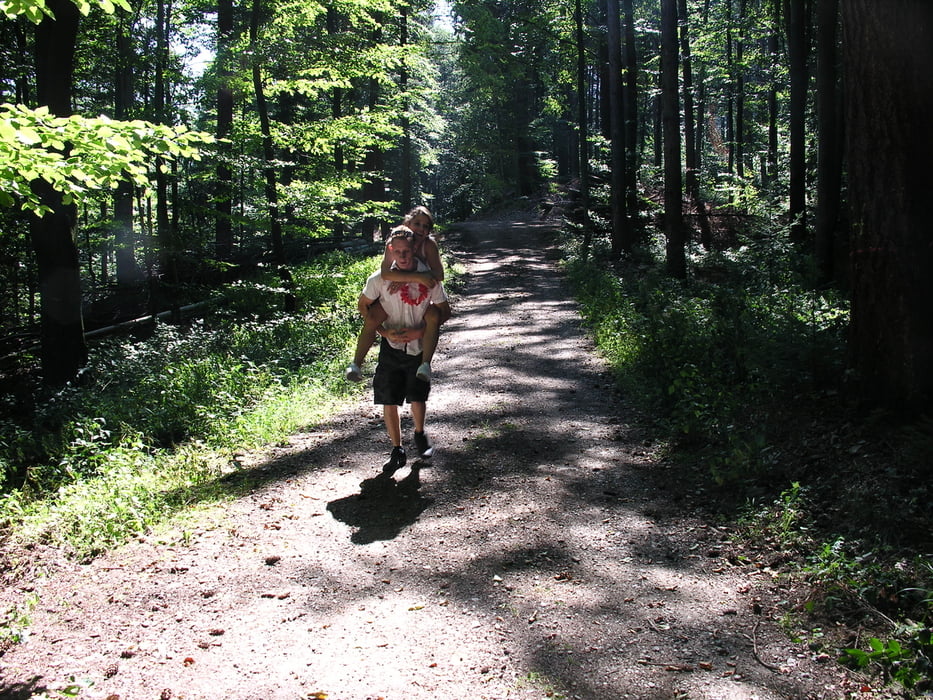
Diesmal ging es zu Fuß los zu einer kleinen Sonntagswanderung zum Gasthof Zähringer Burg. Zuerst sind wir Richtung Hinterheuweiler gelaufen, da ging es rein in den Wald und auch etwas Berg auf zum Widltaler Eck. Dort auf einer Bank machten wir eine kleine Verschnaufpause mit einem herrlichen Blick ins Wild- und Föhrental, weiter ging es bergauf ums Wildtal herum Richtung Rotecksruhe. Davor sind wir falsch abgebogen haben aber dadurch einen sehr schönen Brunnen gefunden, wo wir uns etwas die Füße kühlten. Nun ist es nicht mehr weit zur Gaststätte wo man sich schön ausruhen kann und ein kühles Weizen schlürfen kann (bin ja heut net mit dem Rad :-) Zurück ging es unterhalb der Zähringer Burg durch das Wildtal zum Leheneck und wieder nach Heuweiler.
galéria trás
Mapa trasy a výškový profil
Minimum height 261 m
Maximum height 594 m
More about the tour author
|
|
titanbiker |
komentáre

GPS trasy
Trackpoints-
GPX / Garmin Map Source (gpx) download
-
TCX / Garmin Training Center® (tcx) download
-
CRS / Garmin Training Center® (crs) download
-
Google Earth (kml) download
-
G7ToWin (g7t) download
-
TTQV (trk) download
-
Overlay (ovl) download
-
Fugawi (txt) download
-
Kompass (DAV) Track (tk) download
-
list trasy (pdf) download
-
Original file of the author (gpx) download
More about the tour author
|
|
titanbiker |
Add to my favorites
Remove from my favorites
Edit tags
Open track
My score
Rate