Login

Zabudli ste prihlasovacia meno

Cookies have to be accepted!
Your browser's cookie functionality is disabled. Please enable this functionality.

Not a member yet?

Register now
Login

Available for registred users only

Log in to use this feature.

Zabudli ste prihlasovacia meno

Cookies have to be accepted!
Your browser's cookie functionality is disabled. Please enable this functionality.

Not a member yet?

Register now
Filter
Kategórie
Advanced filters
  • Dĺžka (km)
  • výškomer
Uložiť filter Reset filter

TrackRank

QRCode

Technical data

Dĺžka82,9 km výškomer3227 m Way down3228 m Doba07:00 h:m dátum26.08.2009
ohodnotenia Author Kraj pôžitok z túry kondícia technika

štatistika

3768 náhľady ohodnotenia 249 Stiahnutia priemer
Rate
  • list trasy
  • príjazd
  • Stiahnutia

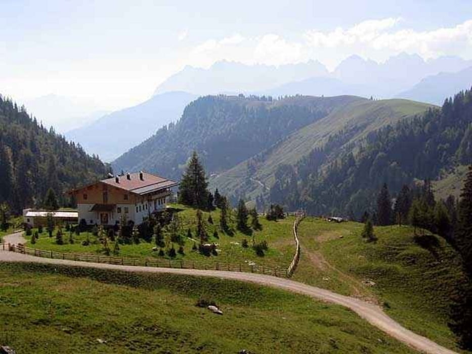
Diese Tour ist von den Höhenmetern a bisl extrem aber wunderschön zu fahren, meistens sind es breite Forststraßen.

Es gibt viele Almen zum einkehren, um auch die Tour auf zwei Tagen zu fahren könnte man an der Riesenhütte (Hochries) oder in der Priener Hütte (Geigelstein) übernachten.


galéria trás

Mapa trasy a výškový profil

  • Open Street Map
  • Google
Minimum height 534 m Maximum height 1406 m Detailný pohľad

More about the tour author

Berne
Member since 2006

Send private message

komentáre

Marquartstein siehe Google maps

oder auch Aschau, Sachrang, Frasdorf können als Startorte gewählt werden

GPS trasy

Trackpoints
  • GPX / Garmin Map Source (gpx) download
  • TCX / Garmin Training Center® (tcx) download
  • CRS / Garmin Training Center® (crs) download
  • Google Earth (kml) download
  • G7ToWin (g7t) download
  • TTQV (trk) download
  • Overlay (ovl) download
  • Fugawi (txt) download
  • Kompass (DAV) Track (tk) download
  • list trasy (pdf) download
  • Original file of the author (gpx) download

More about the tour author

Berne
Member since 2006

Send private message
Share track
Add to my favorites
Remove from my favorites
Edit tags
My score
Rate
trasa: Durchs Chiemgau-Staffnalm,Frasdorfer Huette,Riesenhütte,Spitzstein,Priener Hütte
Druh: horský bicykel
Dĺžka: 82,9 km
Evaluated on:
Doba:
Day(s)
Hour(s)
Minute(s)
ohodnotenie: Kraj pôžitok z túry kondícia technika