Login

Zabudli ste prihlasovacia meno

Cookies have to be accepted!
Your browser's cookie functionality is disabled. Please enable this functionality.

Not a member yet?

Register now
Login

Available for registred users only

Log in to use this feature.

Zabudli ste prihlasovacia meno

Cookies have to be accepted!
Your browser's cookie functionality is disabled. Please enable this functionality.

Not a member yet?

Register now
Filter
Kategórie
Advanced filters
  • Dĺžka (km)
  • výškomer
Uložiť filter Reset filter

TrackRank

QRCode

Technical data

Dĺžka68,1 km výškomer3701 m Way down3690 m Doba10:00 h:m dátum03.09.2009
ohodnotenia Author Kraj pôžitok z túry kondícia technika

štatistika

612 náhľady ohodnotenia 129 Stiahnutia priemer
Rate
  • list trasy
  • príjazd
  • Stiahnutia

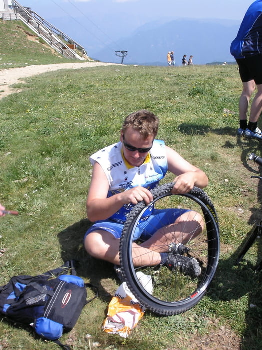
From Tignale to Tremosine, then down the hill to Limone, via ferry to Malcesine then lift to Monte Baldo exciting down hill to Malcesine and back.

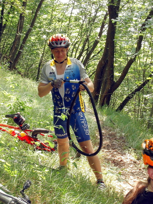
I do not recomed to you use the way back from Limone we did. The part from Campione to Prabione - it is not biking it is not walking - that's climbing with bike on your back...

It is more comfortable to go through Tremosine on a normal road

galéria trás

Mapa trasy a výškový profil

  • Open Street Map
  • Google
Minimum height 65 m Maximum height 1750 m Detailný pohľad

More about the tour author

Listansky
Member since 2009

Send private message

komentáre

GPS trasy

Trackpoints
  • GPX / Garmin Map Source (gpx) download
  • TCX / Garmin Training Center® (tcx) download
  • CRS / Garmin Training Center® (crs) download
  • Google Earth (kml) download
  • G7ToWin (g7t) download
  • TTQV (trk) download
  • Overlay (ovl) download
  • Fugawi (txt) download
  • Kompass (DAV) Track (tk) download
  • list trasy (pdf) download
  • Original file of the author (gpx) download

More about the tour author

Listansky
Member since 2009

Send private message
Share track
Add to my favorites
Remove from my favorites
Edit tags
My score
Rate
trasa: Tignale_Limone_Monte Baldo and back
Druh: horský bicykel
Dĺžka: 68,1 km
Evaluated on:
Doba:
Day(s)
Hour(s)
Minute(s)
ohodnotenie: Kraj pôžitok z túry kondícia technika