
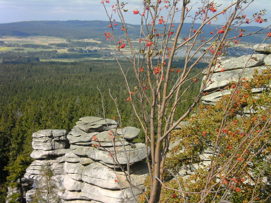

DieTour beginnt in Goldkronach, führt über den Stadtwald nach Fleckel wo sie auf halber Höhe in die Freeride Strecke am Ochsenkobf mündet. Von dort geht es weiter zum Fichtelsee und dann hoch zum Seehaus. Nach einer kurzen Einkehr geht es weiter zum Rudolphstein, es lohnt sich hoch zu klettern denn die Aussicht zum Weißenstädter See und Waldstein ist wunderschön. In diese Richtung führt auch der weitere Verlauf der Tour, um den Weißenstädter See hoch zum Waldstein und kurz unterhalb des Gipfels auf den N-Weg nach Gefrees. In Gefrees noch einen Capuccino in der Eisdiele und dann durch das schöne Ölschnitztal über Bad Berneck zurück nach Goldkronach.
Diese Tour ist gespickt mit Trails (up- und downhill) etwas Fahrtechnik ist Voraussetzung, man sollte auch kurze Schiebepassagen einberechnen.
Mein Navi hat erst am Waldrand begonnen aufzuzeichnen, also denkt euch die 2 km vom Marktplatz bis dorthin noch dazu.
Viel Spass!
galéria trás


Mapa trasy a výškový profil
Minimum height 353 m
Maximum height 960 m
More about the tour author
|
|
berndhuber |
komentáre

GPS trasy
Trackpoints-
GPX / Garmin Map Source (gpx) download
-
TCX / Garmin Training Center® (tcx) download
-
CRS / Garmin Training Center® (crs) download
-
Google Earth (kml) download
-
G7ToWin (g7t) download
-
TTQV (trk) download
-
Overlay (ovl) download
-
Fugawi (txt) download
-
Kompass (DAV) Track (tk) download
-
list trasy (pdf) download
-
Original file of the author (gpx) download
More about the tour author
|
|
berndhuber |
Add to my favorites
Remove from my favorites
Edit tags
Open track
My score
Rate