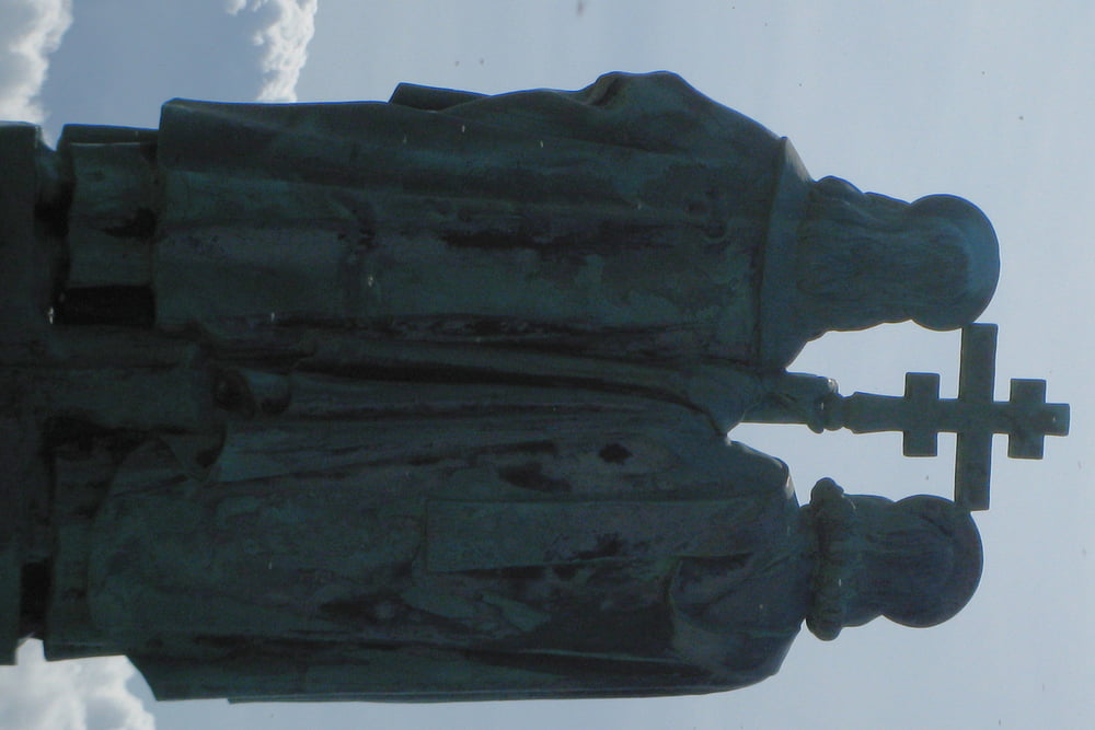
Die Tour geht über und um den nach dem slawischen Gott Radegast (heut auch eine Brauerei) benannten Gipfel. Es ist einfach der Traditionsgipfel in den Beskiden. Von den weithin sichtbaren Bauwerken hat man bei guten Wetter auch tolle Sicht.
Further information at
http://de.wikipeda.org/wiki/Ro%C5%BEnov_pod_Radho%C5%A1t%C4%9Bmgaléria trás
Mapa trasy a výškový profil
Minimum height 624 m
Maximum height 1136 m
komentáre

siehe Roznov pod Radhostem, bei den anderen Beskidentouren.
GPS trasy
Trackpoints-
GPX / Garmin Map Source (gpx) download
-
TCX / Garmin Training Center® (tcx) download
-
CRS / Garmin Training Center® (crs) download
-
Google Earth (kml) download
-
G7ToWin (g7t) download
-
TTQV (trk) download
-
Overlay (ovl) download
-
Fugawi (txt) download
-
Kompass (DAV) Track (tk) download
-
list trasy (pdf) download
-
Original file of the author (gpx) download
Add to my favorites
Remove from my favorites
Edit tags
Open track
My score
Rate


