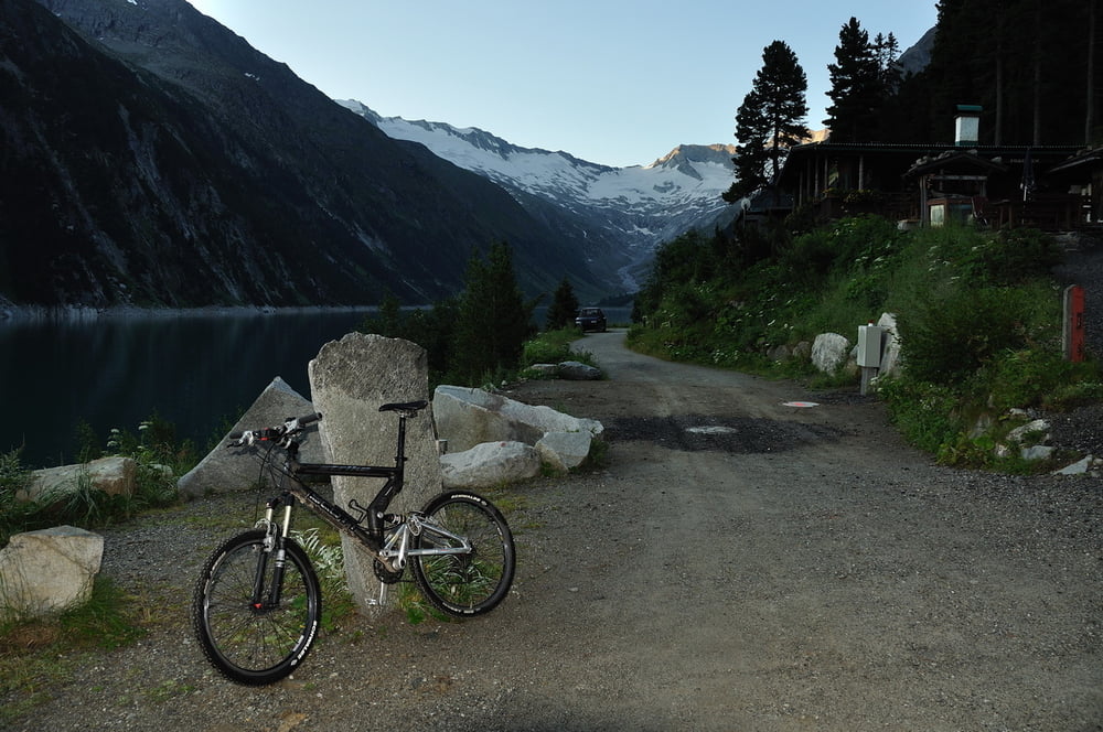
Tour beginnt am Schlegeisspeicher, 1782m. Am See entlang über Schlegeisgrund zum Furtschaglhaus, 2295m. Dort Abzweig zum großen Möseler. Leicht über Gletscher, kaum Spalten, bis zum Felsköpfl. In leichter Kletterei, 1, und abschließend über ein kleines Gletscherfeld zum Gipfel. 3480m.
Bis zum Materiallift Furtschaglhaus im Schlegeisgrund kann man sich die Tour mit dem MTB erleichtern.
galéria trás
Mapa trasy a výškový profil
Minimum height 1722 m
Maximum height 3483 m
komentáre

Zillertal - Mayrhofen - Schlegeisspeicher ( 2009, Maut 10€ )
GPS trasy
Trackpoints-
GPX / Garmin Map Source (gpx) download
-
TCX / Garmin Training Center® (tcx) download
-
CRS / Garmin Training Center® (crs) download
-
Google Earth (kml) download
-
G7ToWin (g7t) download
-
TTQV (trk) download
-
Overlay (ovl) download
-
Fugawi (txt) download
-
Kompass (DAV) Track (tk) download
-
list trasy (pdf) download
-
Original file of the author (gpx) download
Add to my favorites
Remove from my favorites
Edit tags
Open track
My score
Rate


