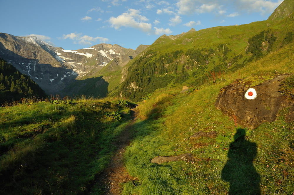
von Fusch, 813m, an der Großglocknerstrasse den Arnoweg aufsteigen bis zur Gleiwitzer Hütte, 2174m. Den Gleiwitzer Höhenweg bis zum Spitzbrettköpfl. Hier beginnen die nicht schwierigen Klettersteigpassagen über eine relativ breiten Gebirgskamm. Am kleinen Tenn wird der Klettersteig etwas anspruchsvoller, ist aber nicht wirklich schwierig. Über ein kleines Schneefeld erreicht man die Schneespitze, 3317m. In leichter Kletterei, 1, erreicht man über einen Grat den Gipfel, 3368m.
galéria trás
Mapa trasy a výškový profil
Minimum height 835 m
Maximum height 3370 m
komentáre

Zell am See - Bruck a.d. Großglocknerstr. - Fusch
GPS trasy
Trackpoints-
GPX / Garmin Map Source (gpx) download
-
TCX / Garmin Training Center® (tcx) download
-
CRS / Garmin Training Center® (crs) download
-
Google Earth (kml) download
-
G7ToWin (g7t) download
-
TTQV (trk) download
-
Overlay (ovl) download
-
Fugawi (txt) download
-
Kompass (DAV) Track (tk) download
-
list trasy (pdf) download
-
Original file of the author (gpx) download
Add to my favorites
Remove from my favorites
Edit tags
Open track
My score
Rate


