Login

Zabudli ste prihlasovacia meno

Cookies have to be accepted!
Your browser's cookie functionality is disabled. Please enable this functionality.

Not a member yet?

Register now
Login

Available for registred users only

Log in to use this feature.

Zabudli ste prihlasovacia meno

Cookies have to be accepted!
Your browser's cookie functionality is disabled. Please enable this functionality.

Not a member yet?

Register now
Filter
Kategórie
Advanced filters
  • Dĺžka (km)
  • výškomer
Uložiť filter Reset filter

TrackRank

QRCode

Technical data

Dĺžka11,9 km výškomer623 m Way down631 m Doba05:30 h:m dátum14.09.2009
ohodnotenia Author Kraj pôžitok z túry kondícia technika

štatistika

1336 náhľady ohodnotenia 43 Stiahnutia priemer
Rate
  • list trasy
  • príjazd
  • Stiahnutia

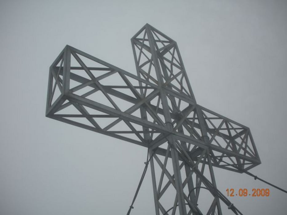
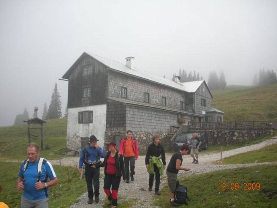
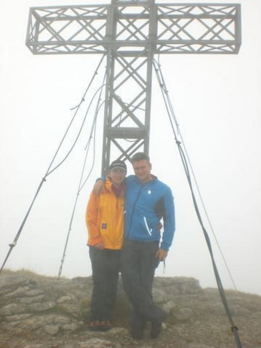
Wanderung vom Hochberghaus (1132 m) über Benn-Nock-Steig (Weg Nr. 431), Sepp-Huber-Hütte (1.508 m) auf den Kasberggipfel (1747m), retour über Forststrasse.

Nebelig, feucht und rutschig - wahrscheinlich schöne Aussicht

galéria trás

Mapa trasy a výškový profil

  • Open Street Map
  • Google
Minimum height 1119 m Maximum height 1727 m Detailný pohľad

More about the tour author

Fritzl71
Member since 2009

Send private message

komentáre

A9 Pyhrnautobahn, Ausfahrt Ried im Traunkreis weiter über Scharnstein nach Grünau im Almtal. Im Ortszentrum Richtung Schindlbach, dann auf der Hochberghaus-Mautstrasse zum Hochberghaus.

GPS trasy

Trackpoints
  • GPX / Garmin Map Source (gpx) download
  • TCX / Garmin Training Center® (tcx) download
  • CRS / Garmin Training Center® (crs) download
  • Google Earth (kml) download
  • G7ToWin (g7t) download
  • TTQV (trk) download
  • Overlay (ovl) download
  • Fugawi (txt) download
  • Kompass (DAV) Track (tk) download
  • list trasy (pdf) download
  • Original file of the author (gpx) download

More about the tour author

Fritzl71
Member since 2009

Send private message
Share track
Add to my favorites
Remove from my favorites
Edit tags
My score
Rate
trasa: 12.9.09: Wanderung auf den Kasberg
Druh: horská trasa
Dĺžka: 11,9 km
Evaluated on:
Doba:
Day(s)
Hour(s)
Minute(s)
ohodnotenie: Kraj pôžitok z túry kondícia technika