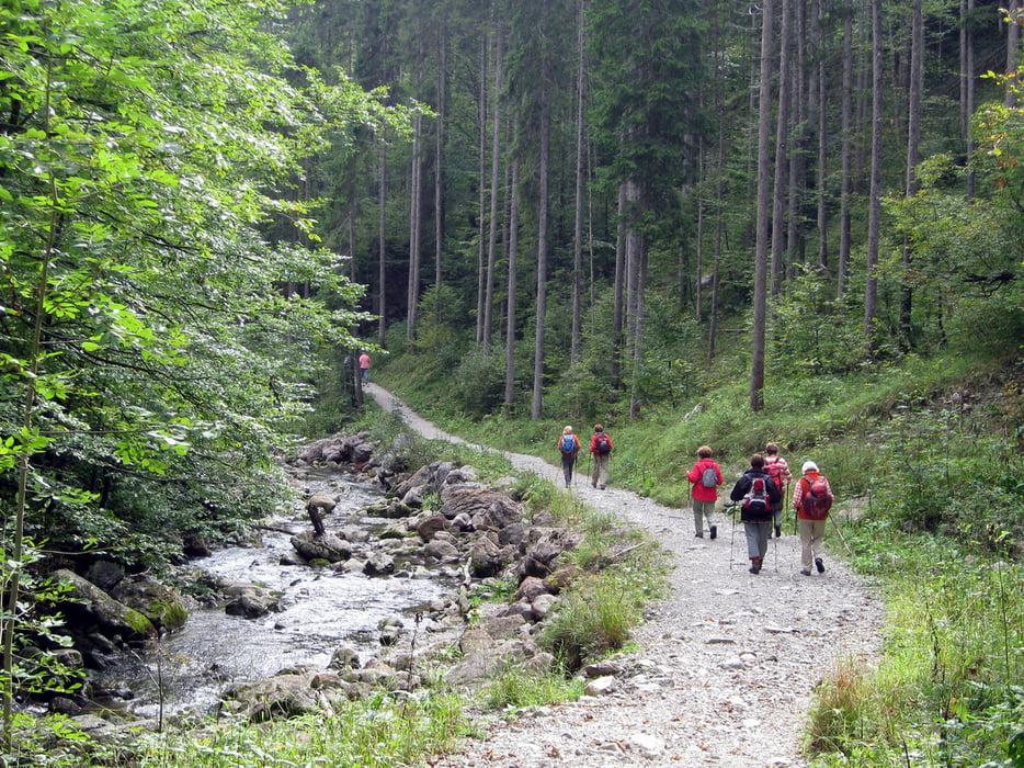
Unsere Bergwanderung beginnt am Parkplatz an der B307 in 850 m Höhe. Wir wandern bei mäßiger Steigung immer am Schwarzenbach entlang. Das Rauschen des Baches begleitet uns bis auf etwa 1050 m Höhe. Hier beginnt der etwas steilere Aufstieg zur Bucher Alm, wo wir eine gute selbst hergestellte Buttermilch bekommen.
Zurück wandern wir auf dem gleichen Weg.galéria trás
Mapa trasy a výškový profil
Minimum height 843 m
Maximum height 1298 m
komentáre

Startpunkt der Tour ist ein Parkplatz an der Bundesstraße B307, etwa 2,5 km hinter Wildbad Kreuth, direkt am Schwarzenbach: N47,623758316, E11,712605953
GPS trasy
Trackpoints-
GPX / Garmin Map Source (gpx) download
-
TCX / Garmin Training Center® (tcx) download
-
CRS / Garmin Training Center® (crs) download
-
Google Earth (kml) download
-
G7ToWin (g7t) download
-
TTQV (trk) download
-
Overlay (ovl) download
-
Fugawi (txt) download
-
Kompass (DAV) Track (tk) download
-
list trasy (pdf) download
-
Original file of the author (gpx) download
Add to my favorites
Remove from my favorites
Edit tags
Open track
My score
Rate


