Login

Zabudli ste prihlasovacia meno

Cookies have to be accepted!
Your browser's cookie functionality is disabled. Please enable this functionality.

Not a member yet?

Register now
Login

Available for registred users only

Log in to use this feature.

Zabudli ste prihlasovacia meno

Cookies have to be accepted!
Your browser's cookie functionality is disabled. Please enable this functionality.

Not a member yet?

Register now
Filter
Kategórie
Advanced filters
  • Dĺžka (km)
  • výškomer
Uložiť filter Reset filter

TrackRank

QRCode

Technical data

Dĺžka37,8 km výškomer866 m Way down867 m Doba00:00 h:m dátum26.07.2006
ohodnotenia Author Kraj pôžitok z túry kondícia technika

štatistika

6173 náhľady 2 ohodnotenia 847 Stiahnutia 3.00 priemer
Rate
  • list trasy
  • príjazd
  • Stiahnutia
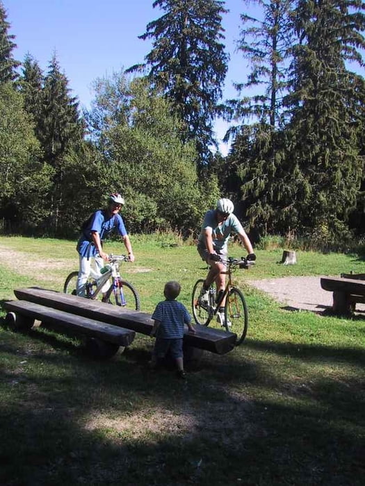
Von Titisee über Hinterzarten zum Feldberg. Zurück durch das Bärental nach Titisee.

Mapa trasy a výškový profil

  • Open Street Map
  • Google
Minimum height 849 m Maximum height 1389 m Detailný pohľad

More about the tour author

anti

komentáre

roland on 19.05.2007

Beschreibung

Diese Tour hat den grossen Vorteil, das der Anstieg grösstenteils auf Asphalt verläuft. Gerade zum Einfahren ideal.
Ist man am Feldberg angelangt, kann man noch den Abstecher direkt hinauf zum Turm machen. Danach geht es im Bärental nur noch bergab (ca. 30min).
Der grösste Teil der Strecke ist jetzt Bestandteil des Schwarzwald X-ing.
Gianni2010 on 11.06.2007

Gute Strecke

Singeltrailfreie Strecke mit steilen Anstiegen. Hier habe ich gelernt, dass der Feldberg komplett erschlossen ist und man nur auf den "Wanderautobahnen" fahren darf. Geht man Abseits so kostet das Strafe. Wir sind also brav auf den Wegen geblieben. Fazit: Geeignet für sportliche Familien, die auch vor den Steigungen nicht abschrecken. Landschaftlich super! GPS Daten sind ebenfalls gut!

GPS trasy

Trackpoints
  • GPX / Garmin Map Source (gpx) download
  • TCX / Garmin Training Center® (tcx) download
  • CRS / Garmin Training Center® (crs) download
  • Google Earth (kml) download
  • G7ToWin (g7t) download
  • TTQV (trk) download
  • Overlay (ovl) download
  • Fugawi (txt) download
  • Kompass (DAV) Track (tk) download
  • list trasy (pdf) download
  • Original file of the author (gpx) download

More about the tour author

anti

Share track
Add to my favorites
Remove from my favorites
Edit tags
My score
Rate
trasa: Titisee - Feldberg
Druh: horský bicykel
Dĺžka: 37,8 km
Evaluated on:
Doba:
Day(s)
Hour(s)
Minute(s)
ohodnotenie: Kraj pôžitok z túry kondícia technika