


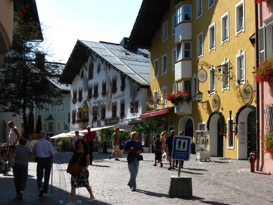
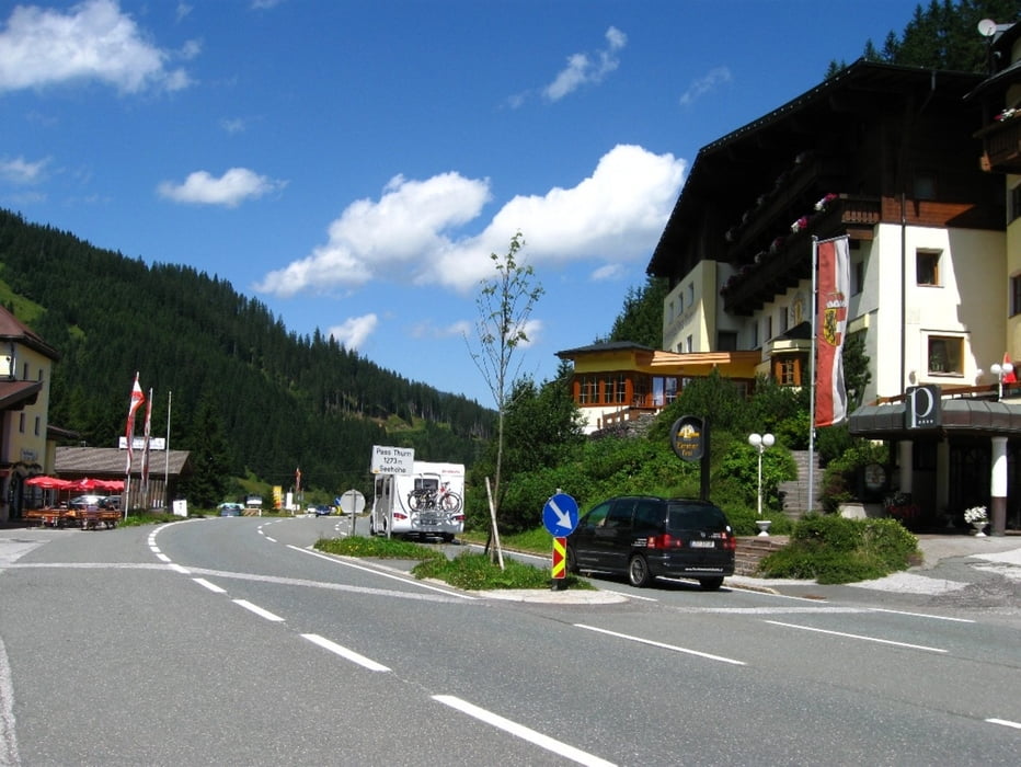
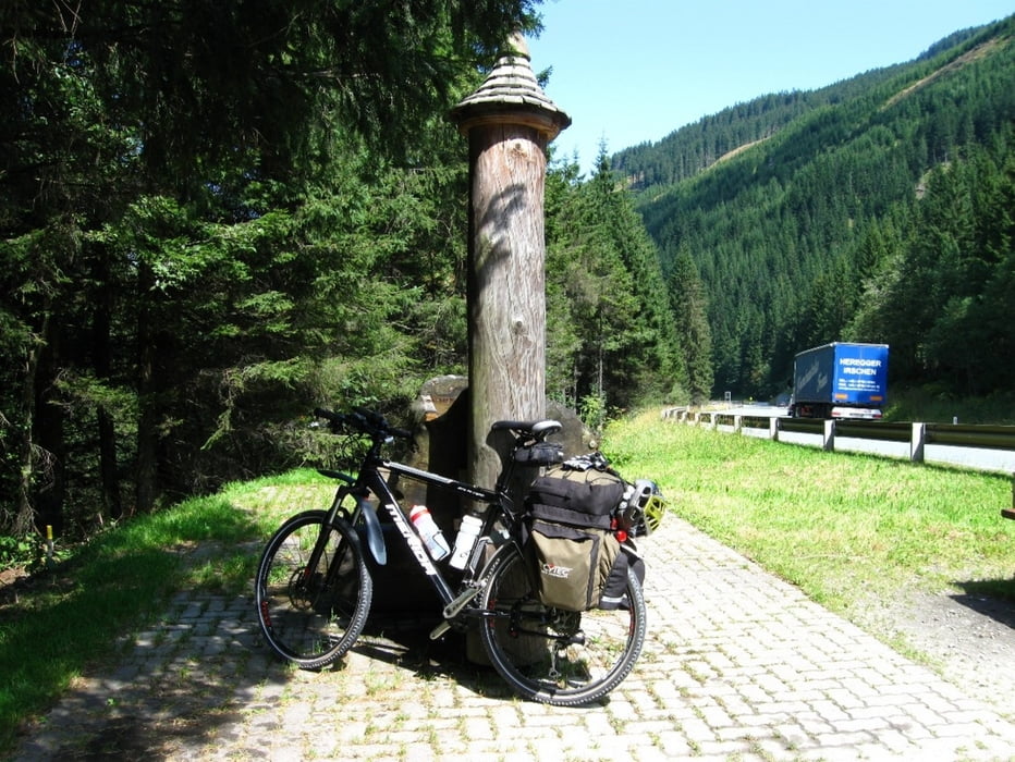
Von Kundl Richtung Wörgl und dann durch das schöne Brixental über Westendorf nach Kitzbühel. Die Auffahrt zum Pass Thurn ist trotz des vielen Verkehrs sehr schön. Bei Mittersill kommt man dann zum Tauern Radweg der sehr gut beschildert ist. Vor Taxenbach sind dann zwei steile Anstiege zu bewältigen die aber auf der Bundesstrasse zu umgehen wehren. Der Rest des Radweges geht meist auf der alten Salzachtal Bundesstrasse in Flussnähe bis St. Johann im Pongau
Further information at
http://www.liechtensteinklamm.at/galéria trás
Mapa trasy a výškový profil
Minimum height 498 m
Maximum height 1282 m
More about the tour author
|
|
izebor |
komentáre

Mit der Eisenbahn oder auf der A 12 der Inntal Autobahn bis Wörgl und von da die Tour beginnen.
GPS trasy
Trackpoints-
GPX / Garmin Map Source (gpx) download
-
TCX / Garmin Training Center® (tcx) download
-
CRS / Garmin Training Center® (crs) download
-
Google Earth (kml) download
-
G7ToWin (g7t) download
-
TTQV (trk) download
-
Overlay (ovl) download
-
Fugawi (txt) download
-
Kompass (DAV) Track (tk) download
-
list trasy (pdf) download
-
Original file of the author (gpx) download
More about the tour author
|
|
izebor |
Add to my favorites
Remove from my favorites
Edit tags
Open track
My score
Rate