Login

Zabudli ste prihlasovacia meno

Cookies have to be accepted!
Your browser's cookie functionality is disabled. Please enable this functionality.

Not a member yet?

Register now
Login

Available for registred users only

Log in to use this feature.

Zabudli ste prihlasovacia meno

Cookies have to be accepted!
Your browser's cookie functionality is disabled. Please enable this functionality.

Not a member yet?

Register now
Filter
Kategórie
Advanced filters
  • Dĺžka (km)
  • výškomer
Uložiť filter Reset filter

TrackRank

QRCode

Technical data

Dĺžka11,9 km výškomer532 m Way down518 m Doba01:30 h:m dátum20.09.2009
ohodnotenia Author Kraj pôžitok z túry kondícia technika

štatistika

418 náhľady ohodnotenia 85 Stiahnutia priemer
Rate
  • list trasy
  • príjazd
  • Stiahnutia
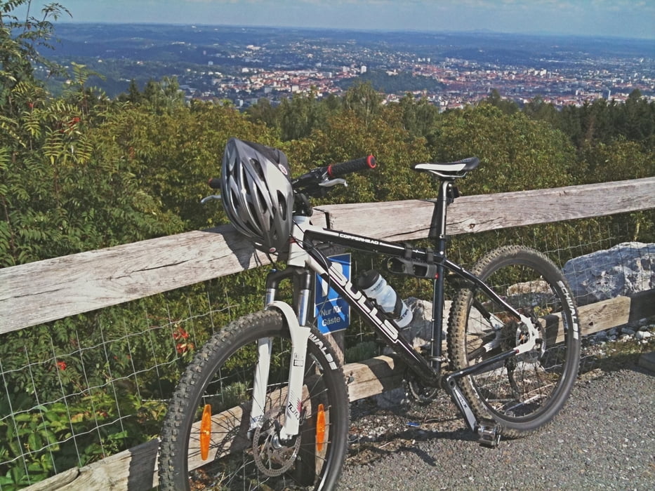
Die Tour beginnt beim Fürstenstandweg... der Rest ergibt sich hoffentlich aus der Karte! Die ersten 200m sind sehr steil, nach dieser ersten kleinen Hürde gehts aber angenehm weiter! Viel Spaß beim Fahren

Mapa trasy a výškový profil

  • Open Street Map
  • Google
Minimum height 414 m Maximum height 815 m Detailný pohľad

More about the tour author

biker344
Member since 2009

Send private message

komentáre

GPS trasy

Trackpoints
  • GPX / Garmin Map Source (gpx) download
  • TCX / Garmin Training Center® (tcx) download
  • CRS / Garmin Training Center® (crs) download
  • Google Earth (kml) download
  • G7ToWin (g7t) download
  • TTQV (trk) download
  • Overlay (ovl) download
  • Fugawi (txt) download
  • Kompass (DAV) Track (tk) download
  • list trasy (pdf) download
  • Original file of the author (gpx) download

More about the tour author

biker344
Member since 2009

Send private message
Share track
Add to my favorites
Remove from my favorites
Edit tags
My score
Rate
trasa: Plabutsch
Druh: horský bicykel
Dĺžka: 11,9 km
Evaluated on:
Doba:
Day(s)
Hour(s)
Minute(s)
ohodnotenie: Kraj pôžitok z túry kondícia technika