Login

Zabudli ste prihlasovacia meno

Cookies have to be accepted!
Your browser's cookie functionality is disabled. Please enable this functionality.

Not a member yet?

Register now
Login

Available for registred users only

Log in to use this feature.

Zabudli ste prihlasovacia meno

Cookies have to be accepted!
Your browser's cookie functionality is disabled. Please enable this functionality.

Not a member yet?

Register now
Filter
Kategórie
Advanced filters
  • Dĺžka (km)
  • výškomer
Uložiť filter Reset filter

TrackRank

QRCode

Technical data

Dĺžka13,2 km výškomer1344 m Way down1032 m Doba06:42 h:m dátum20.09.2009
ohodnotenia Author Kraj pôžitok z túry kondícia technika

štatistika

1988 náhľady ohodnotenia 59 Stiahnutia priemer
Rate
  • list trasy
  • príjazd
  • Stiahnutia
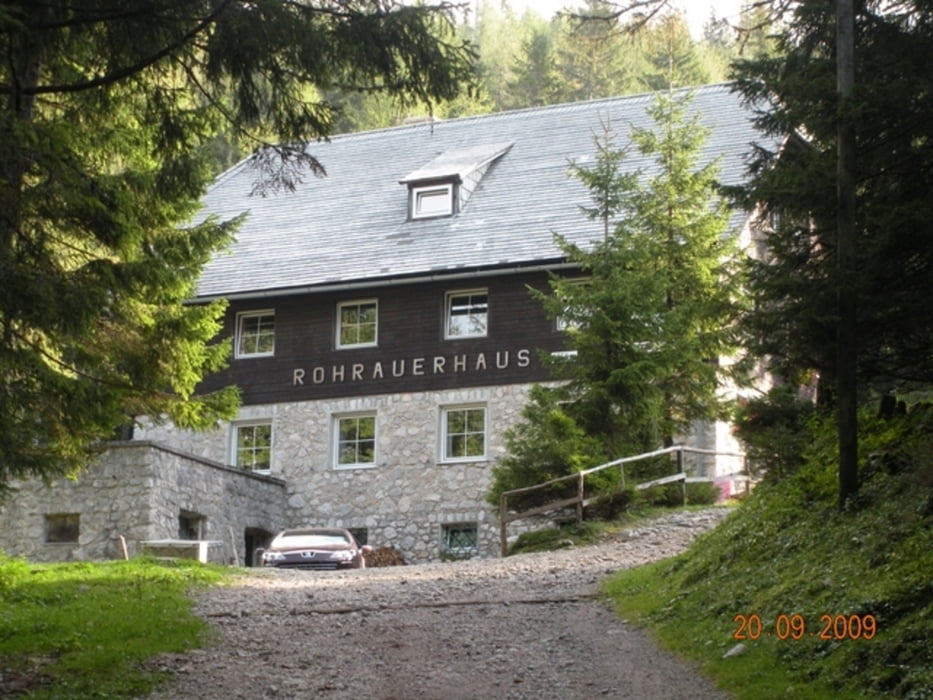
Ausgangspunkt: Bosruckhütte nahe Spital am Pyhrn (1.036 m), dann weiter zum Rohrauerhaus (1.354 m), Pyhrgasgatterl, hinauf auf den Sattel zwischen Gr. Pyhrgas u. Scheiblingstein (Weg 601) dann abzweigen  auf den Weg 629, durch die "Lange Gasse" sehr steil auf den NW-Grat und dann noch ca. 30 min zum Gipfel auf (2.197 m). Retour auf der gleichen Route!

galéria trás

Mapa trasy a výškový profil

  • Open Street Map
  • Google
Minimum height 994 m Maximum height 2192 m Detailný pohľad

More about the tour author

Fritzl71
Member since 2009

Send private message

komentáre

In Spital am Pyhrn Richtung Dr.Vogelsang-Klamm, an dieser vorbei bis zum Parkplatz bei der Bosruckhütte

GPS trasy

Trackpoints
  • GPX / Garmin Map Source (gpx) download
  • TCX / Garmin Training Center® (tcx) download
  • CRS / Garmin Training Center® (crs) download
  • Google Earth (kml) download
  • G7ToWin (g7t) download
  • TTQV (trk) download
  • Overlay (ovl) download
  • Fugawi (txt) download
  • Kompass (DAV) Track (tk) download
  • list trasy (pdf) download
  • Original file of the author (gpx) download

More about the tour author

Fritzl71
Member since 2009

Send private message
Share track
Add to my favorites
Remove from my favorites
Edit tags
My score
Rate
trasa: Scheiblingstein (2197m) von Bosruckhütte
Druh: horská trasa
Dĺžka: 13,2 km
Evaluated on:
Doba:
Day(s)
Hour(s)
Minute(s)
ohodnotenie: Kraj pôžitok z túry kondícia technika