


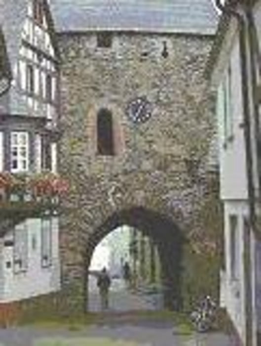
Schon der Start durch die historische Altstadt ist sehr schön. Der Bezug zum Mittelalter wird darüber hinaus durch kurze Erläuterungen an drei Punkten auf der Strecke hergestellt.. Der Weg wird abwechselnd durch Wald und Feld geführt. Die Abwechslungsdichte ist sehr hoch, Gewässer, Waldränder, Felsen und vor allem die immer wieder vorhandenen Aussichten charakterisieren diesen Weg. Der angenehme Wechsel von Wald- und Feldpartien mit herrlichen Aussichten führt zu einem tollen Wandererlebnis..
Restaurant mit durchgehend Warmer Küche ohne Ruhetage von Ostern bis ende Herbst
zwischen Kempfel - Herrstein: Restaurant Harfenmühle 10 Auto min
im Historischen Ortskern Herrstein: Cafe Zehntscheune
Further information at
http://www.wanderinstitut.de/premiumwege/rheinland-pfalz/mittelalterpfad/galéria trás

Mapa trasy a výškový profil
Minimum height 224 m
Maximum height 448 m
More about the tour author
|
|
Plunschbauch |
komentáre

Start & Ziel: Herrstein
GPS trasy
Trackpoints-
GPX / Garmin Map Source (gpx) download
-
TCX / Garmin Training Center® (tcx) download
-
CRS / Garmin Training Center® (crs) download
-
Google Earth (kml) download
-
G7ToWin (g7t) download
-
TTQV (trk) download
-
Overlay (ovl) download
-
Fugawi (txt) download
-
Kompass (DAV) Track (tk) download
-
list trasy (pdf) download
-
Original file of the author (gpx) download
More about the tour author
|
|
Plunschbauch |
Add to my favorites
Remove from my favorites
Edit tags
Open track
My score
Rate