
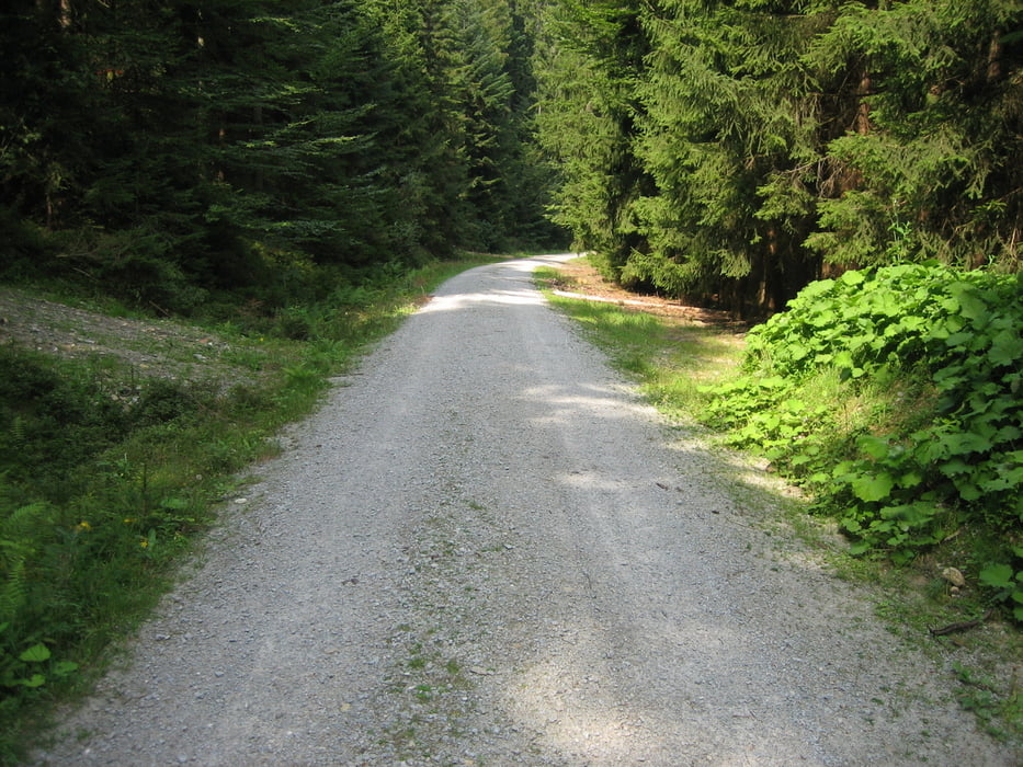

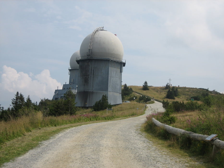
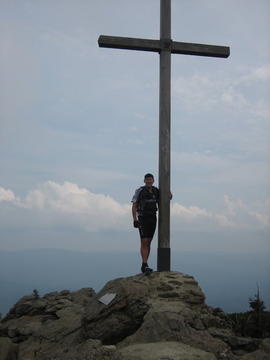
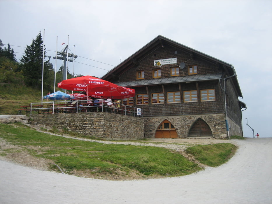
Die Runde startet in Böbrach und um es etwas genauer zu sagen im Bärnerauweg. Von hier aus geht es auch gleich auf Schotterstraßen hurtig hinauf und mit warmfahren ist nicht viel drin. Ich habe mir die Strecke im Vorfeld zusammengestellt und mich nicht an die ausgeschilderten MTB - Strecken gehalten. Die Strecke verläuft etwas anders ist aber totzdem ohne große Probleme zu fahren. Nach dem großen Arbersee kommt eine kurze Schiebepassage und wer möchte, kann gleich auf der Hauptstraße fahren, denn die Strecken treffen nach einem kurzen Stück wieder aufeinander.
galéria trás
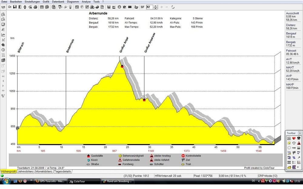
Mapa trasy a výškový profil
Minimum height 570 m
Maximum height 1438 m
More about the tour author
|
|
sito68 |
komentáre

GPS trasy
Trackpoints-
GPX / Garmin Map Source (gpx) download
-
TCX / Garmin Training Center® (tcx) download
-
CRS / Garmin Training Center® (crs) download
-
Google Earth (kml) download
-
G7ToWin (g7t) download
-
TTQV (trk) download
-
Overlay (ovl) download
-
Fugawi (txt) download
-
Kompass (DAV) Track (tk) download
-
list trasy (pdf) download
-
Original file of the author (gpx) download
More about the tour author
|
|
sito68 |
Add to my favorites
Remove from my favorites
Edit tags
Open track
My score
Rate