
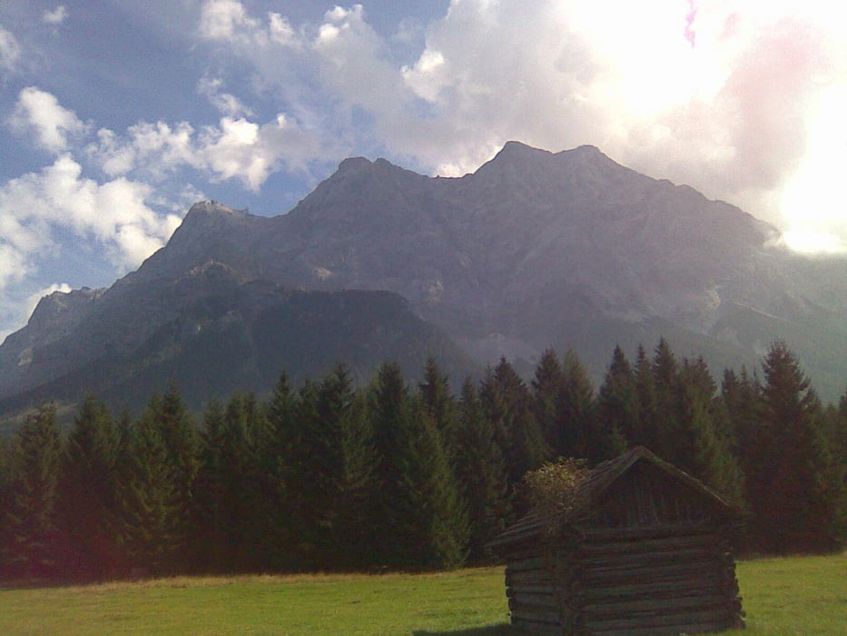

Tour entlang der Radwanderroute von Grainau bis Ehrwald. Von dort auf gut fahrbarer Forststrasse bergauf, vorbei am Eibseeblick, und wieder kurz bergab zur Rast auf der Hochthörlehütte. Ein kurzes Stück zurück und dann bergab Richtung Eibsee. Kurzes Schiebe-/Tragestück ( ca. 10 min )auf kaum sichtbarer Pfadspur, bis man an einem Forstweg mündet. Abzweig auf einen Trail, der je nach Fahrkönnen komplett fahrbar ist. Dieser Trail kann aber auch auf einer Forstwegroute umfahren werden. Auf dem Uferweg entlang des Eibsees, noch ein letzter kurzer Anstieg und auf Forstweg bergab. Abzweig wieder in einen Trail, der leichter als der o.g. ist, aber auch wieder auf einer Forstwegroute umfahren werden kann. Dann auf Asphalt zurück zum Ausgangspunkt.
galéria trás


Mapa trasy a výškový profil
Minimum height 633 m
Maximum height 1464 m
More about the tour author

|
mfa69 |
komentáre

Von München kommend auf der A95 bis zum Autobahnende, weiter auf der B2 bis zum Tunnel bei Farchant. Nach dem Tunnel rechts Richtung Fernpass und in o.g. Richtung bis Grainau. Parken und Tourbeginn am Bahnhof.
GPS trasy
Trackpoints-
GPX / Garmin Map Source (gpx) download
-
TCX / Garmin Training Center® (tcx) download
-
CRS / Garmin Training Center® (crs) download
-
Google Earth (kml) download
-
G7ToWin (g7t) download
-
TTQV (trk) download
-
Overlay (ovl) download
-
Fugawi (txt) download
-
Kompass (DAV) Track (tk) download
-
list trasy (pdf) download
-
Original file of the author (gpx) download
More about the tour author
|
|
mfa69 |
Add to my favorites
Remove from my favorites
Edit tags
Open track
My score
Rate