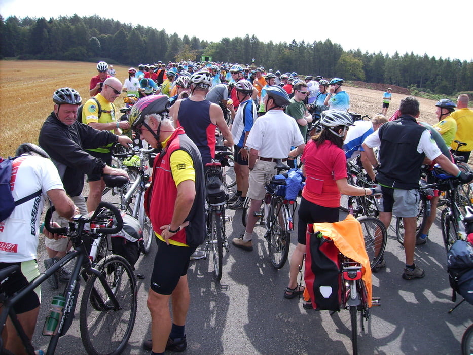
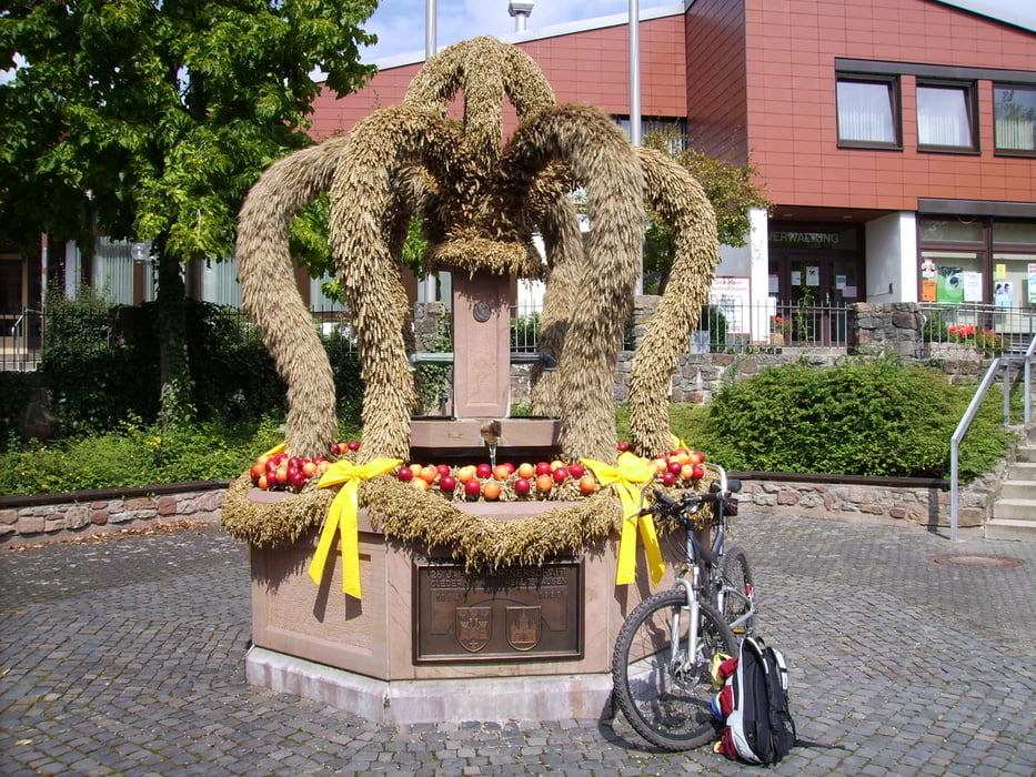
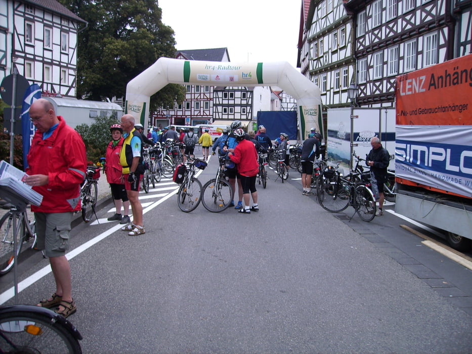
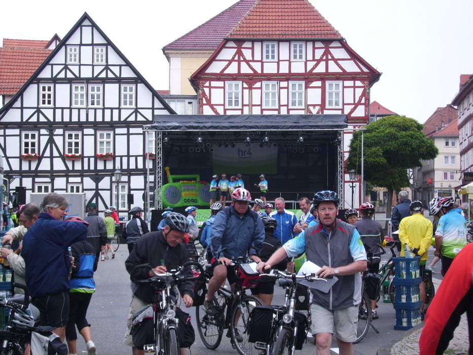
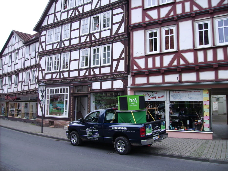
Vom Rathausplatz in Bebra ging es über Gilfershausen, Solz, Süß nach Gerstungen. Von dort ging es auf dem Werratalradweg nach Herleshausen, Hörschel und Creuzburg. Auf der B250 fuhr man nach Teffurt. Auf dem Werratalradweg ging es weiter durch Wahnfried und nach Eschwege.
Weitere Bilder kann man sich unter: http://poschta.de/gerd/biker.html ansehen
Further information at
http://www.hr-online.de/website/radio/hr4/galéria trás
Mapa trasy a výškový profil
Minimum height 99999 m
Maximum height -99999 m
komentáre

Zwischen Bebra und Eschwege gibt es eine Zugverbindung des N V V. So kann man einfach mit dem Fahrrad im Zug vom Ziel zum Ausgangspunkt zurück kommen.
GPS trasy
Trackpoints-
GPX / Garmin Map Source (gpx) download
-
TCX / Garmin Training Center® (tcx) download
-
CRS / Garmin Training Center® (crs) download
-
Google Earth (kml) download
-
G7ToWin (g7t) download
-
TTQV (trk) download
-
Overlay (ovl) download
-
Fugawi (txt) download
-
Kompass (DAV) Track (tk) download
-
list trasy (pdf) download
-
Original file of the author (gpx) download
Add to my favorites
Remove from my favorites
Edit tags
Open track
My score
Rate

