
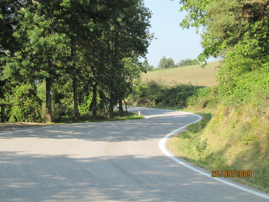

Die erste Hälfte der Tour bietet Kurven im gepflegeten Powercruisen-Modus (flottes, gleichmäßiges Schwingen) bis zum Abwinken.
Die Straßen Note 2-3, wenn man die Straßenverhältnisse in Nordspanien zum Vergleich nimmt.
Der Anfang der zweiten Hälfte (ca. 30 km) war eher öde Bundesstraße, die man vielleicht umgehen kann. Nach dem Bundestraßenabschnitt verdienen die Straßen eher Note 3-4.
Das Restaurant Din will ich hier nochmal erwähnen, weil es einfach nett ist und man auf 'Spielkameraden' trifft.
Insgesamt 240 km, die uns Spaß gemacht haben.
Und wer Knöpfe braucht, sollte den Picknikplatz anfahren ;-) 100 verschiedene zur Auswahl.
galéria trás


Mapa trasy a výškový profil
Minimum height -9 m
Maximum height 991 m
More about the tour author
|
|
Genoveva |
komentáre

GPS trasy
Trackpoints-
GPX / Garmin Map Source (gpx) download
-
TCX / Garmin Training Center® (tcx) download
-
CRS / Garmin Training Center® (crs) download
-
Google Earth (kml) download
-
G7ToWin (g7t) download
-
TTQV (trk) download
-
Overlay (ovl) download
-
Fugawi (txt) download
-
Kompass (DAV) Track (tk) download
-
list trasy (pdf) download
-
Original file of the author (gpx) download
More about the tour author
|
|
Genoveva |
Add to my favorites
Remove from my favorites
Edit tags
Open track
My score
Rate