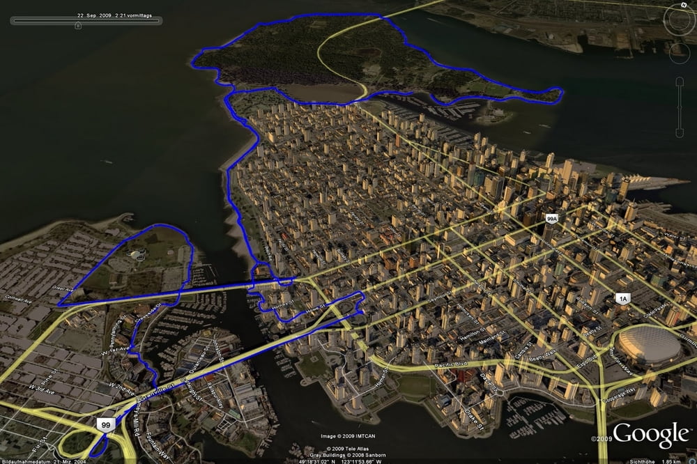
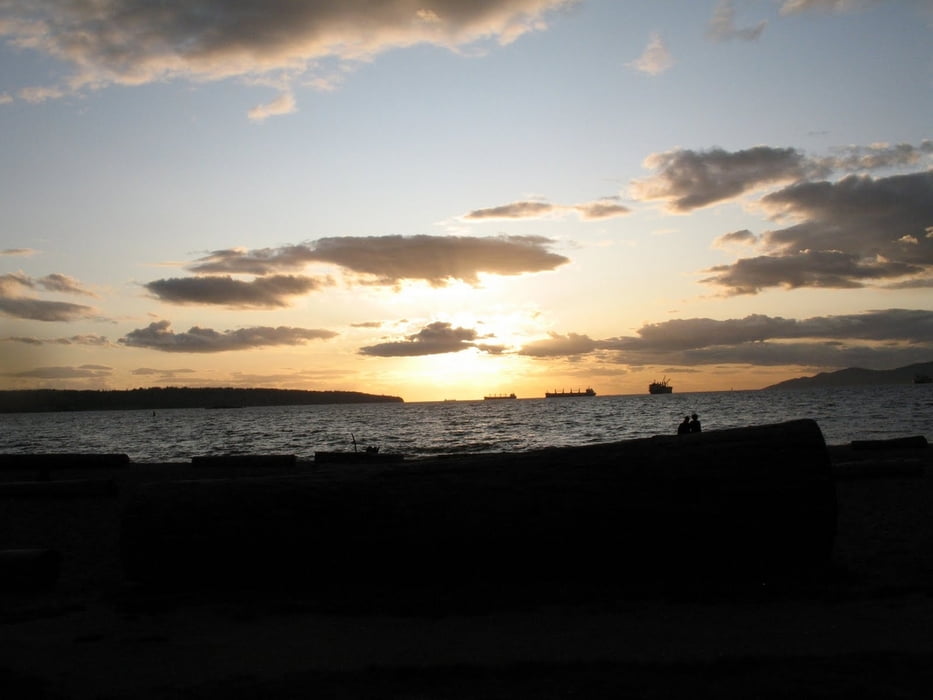
Die Laufstrecke führte ausgehend von meinen Lieblingsparkplatz im Stanley Park Richtung Vancouver Pazific Beach. Eigentlich sollte es auch nur eine Runde über die zwei Brücken gehen. Doch eine Runde auf dem Seawall um den Stanley Park ist immer wieder nett. Damit wurde aus einer 12km eine 20,1km Runde ....
Further information at
http://jog4fun.blogspot.com/galéria trás
Mapa trasy a výškový profil
Minimum height -14 m
Maximum height 62 m
komentáre

Vancouver - Stanley Park - Parkplatz nahe am Row Club Vancouver
GPS trasy
Trackpoints-
GPX / Garmin Map Source (gpx) download
-
TCX / Garmin Training Center® (tcx) download
-
CRS / Garmin Training Center® (crs) download
-
Google Earth (kml) download
-
G7ToWin (g7t) download
-
TTQV (trk) download
-
Overlay (ovl) download
-
Fugawi (txt) download
-
Kompass (DAV) Track (tk) download
-
list trasy (pdf) download
-
Original file of the author (gpx) download
Add to my favorites
Remove from my favorites
Edit tags
Open track
My score
Rate


