


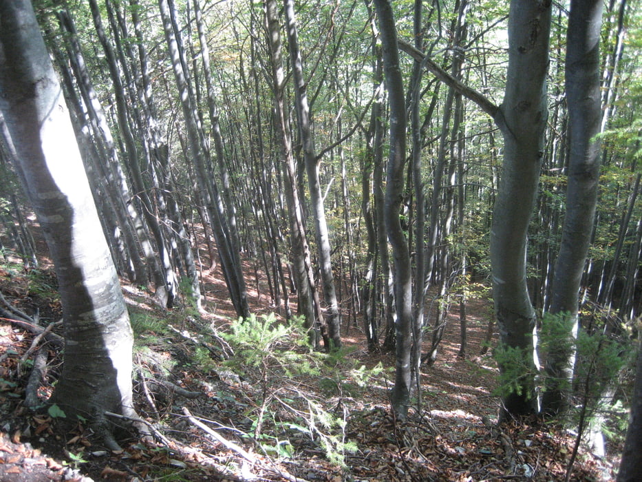
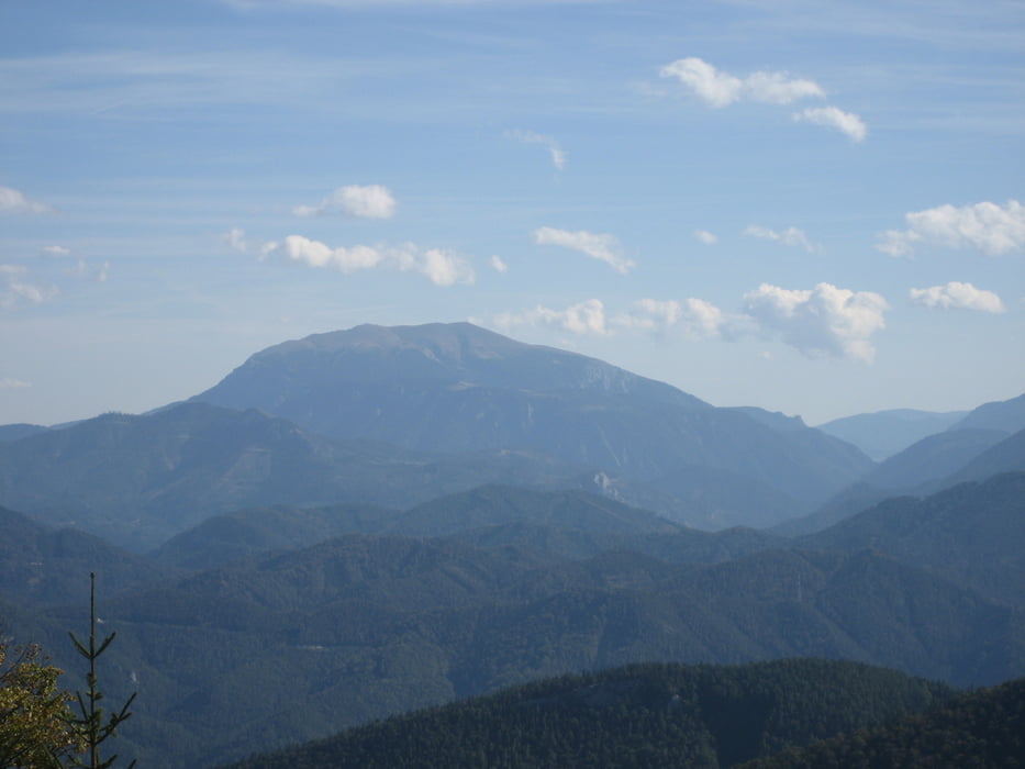
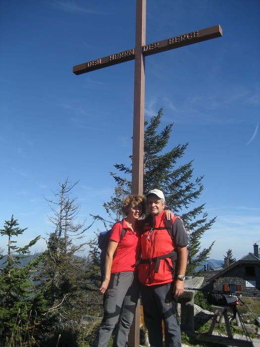
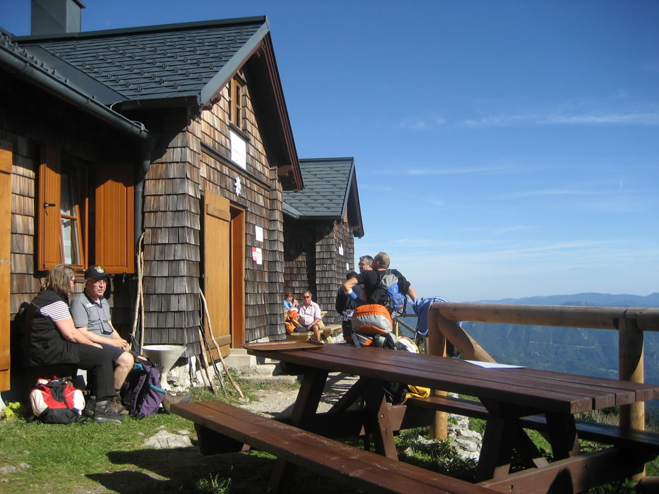
Der Aufstieg verläuft anfangs sehr flach und wird zum Gipfel hin immer steiler. Alles machbar für jedermann. Wunderschöne Wege durch viel Wald. Alles gut markiert. Sensationeller Rundblick vom Gipfelrücken. Wunderbare Weitsicht bei Schönwetter. Besonders nette und freundliche Bewirtung. Ein Muss für Bergwanderer.
Further information at
http://www.tuernitzerhuette.gebirgsverein.at/galéria trás
Mapa trasy a výškový profil
Minimum height 457 m
Maximum height 1408 m
More about the tour author
|
|
Sieberer61 |
komentáre

Von St. Pölten Richtung Lilienfeld, dann weiter Richtung Mariazell aber dann links abbiegen Richtung Hohenberg. Kurz vor Hohenberg kommt der Ort Furthof. Im Ort rechts zum Bahnhof. Dort Auto abstellen.
GPS trasy
Trackpoints-
GPX / Garmin Map Source (gpx) download
-
TCX / Garmin Training Center® (tcx) download
-
CRS / Garmin Training Center® (crs) download
-
Google Earth (kml) download
-
G7ToWin (g7t) download
-
TTQV (trk) download
-
Overlay (ovl) download
-
Fugawi (txt) download
-
Kompass (DAV) Track (tk) download
-
list trasy (pdf) download
-
Original file of the author (gpx) download
More about the tour author
|
|
Sieberer61 |
Add to my favorites
Remove from my favorites
Edit tags
Open track
My score
Rate