Login

Zabudli ste prihlasovacia meno

Cookies have to be accepted!
Your browser's cookie functionality is disabled. Please enable this functionality.

Not a member yet?

Register now
Login

Available for registred users only

Log in to use this feature.

Zabudli ste prihlasovacia meno

Cookies have to be accepted!
Your browser's cookie functionality is disabled. Please enable this functionality.

Not a member yet?

Register now
Filter
Kategórie
Advanced filters
  • Dĺžka (km)
  • výškomer
Uložiť filter Reset filter

TrackRank

QRCode

Technical data

Dĺžka58,9 km výškomer1029 m Way down1030 m Doba03:30 h:m dátum07.10.2009
ohodnotenia Author Kraj pôžitok z túry kondícia technika

štatistika

903 náhľady 1 ohodnotenie 134 Stiahnutia 4.00 priemer
Rate
  • list trasy
  • príjazd
  • Stiahnutia

Bernhardus :

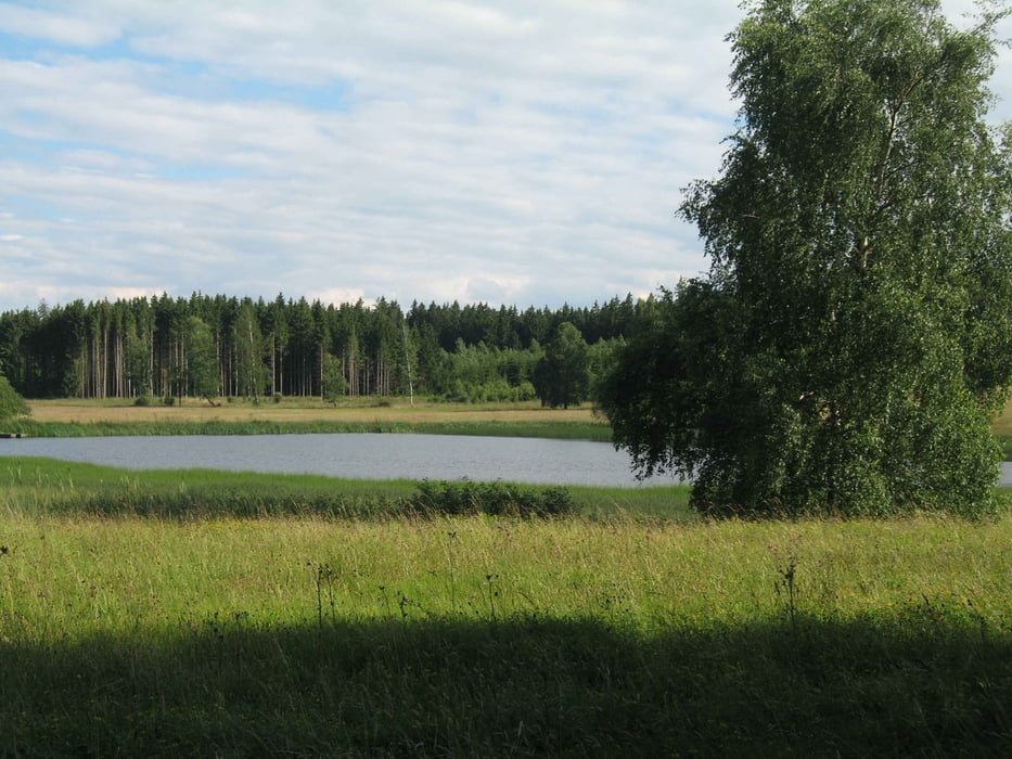
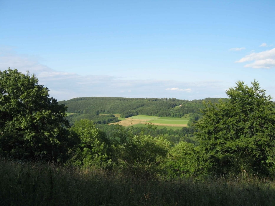
schöne Runde ; überwiegend auf Schotterstraßen

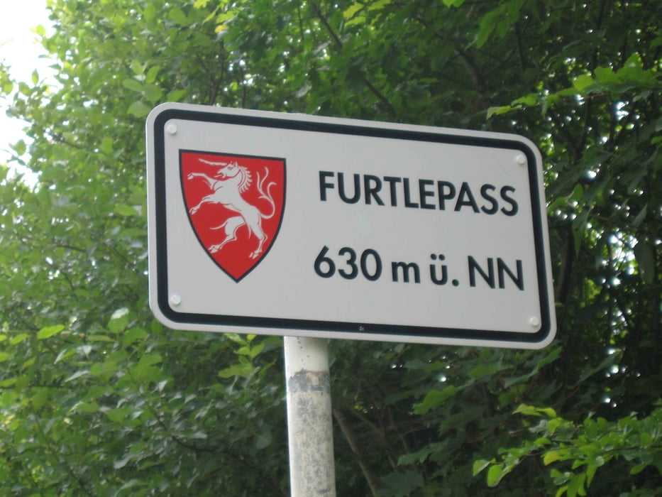
Von Straßdof - Waldstetten - Bernhardus - Lauterstein - Tauchenweiler - Bartholomä

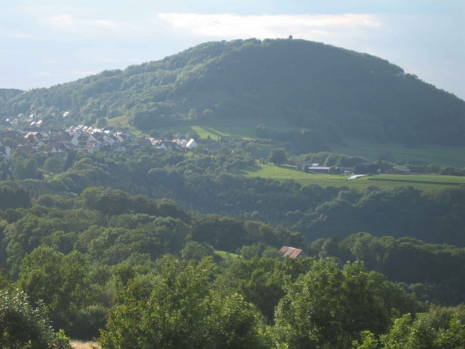
zurück Bernhardus - Kaltes Feld - Segelflugplatz Hornberg - Stuifenumrundung - Rechberg - Straßdorf

Am Anfang ein Anstieg von 380hm auf ca. 5km

Zum Schluß steile Abfahrt vom Kalten Feld

Einkehrmöglichkeiten :

Auf dem Kalten Feld

Knörzerhaus

Franz-Keller - Haus ( Am Wochenende)


galéria trás

Mapa trasy a výškový profil

  • Open Street Map
  • Google
Minimum height 377 m Maximum height 775 m Detailný pohľad

More about the tour author

juergen_ko
Member since 2009

Send private message

komentáre

Zennix on 23.04.2010

Bernhardus

Eine wirklich empfehlenswerte Tour. Es war klasse Wetter und die Aussicht ist wirklich fantastisch. Besonders in der Gegend um die Windräder wird man mit einer Bombenaussicht belohnt. Keine großen Schwierigkeiten aber doch der eine oder andere Trail runden das Ganze ab. Vielen Dank für den tollen Nachmittag. Diese Tour werde ich sicher nochmal abfahren.
Grüße / Zennix

GPS trasy

Trackpoints
  • GPX / Garmin Map Source (gpx) download
  • TCX / Garmin Training Center® (tcx) download
  • CRS / Garmin Training Center® (crs) download
  • Google Earth (kml) download
  • G7ToWin (g7t) download
  • TTQV (trk) download
  • Overlay (ovl) download
  • Fugawi (txt) download
  • Kompass (DAV) Track (tk) download
  • list trasy (pdf) download
  • Original file of the author (gpx) download

More about the tour author

juergen_ko
Member since 2009

Send private message
Share track
Add to my favorites
Remove from my favorites
Edit tags
My score
Rate
trasa: Bernhardus
Druh: horský bicykel
Dĺžka: 58,9 km
Evaluated on:
Doba:
Day(s)
Hour(s)
Minute(s)
ohodnotenie: Kraj pôžitok z túry kondícia technika