


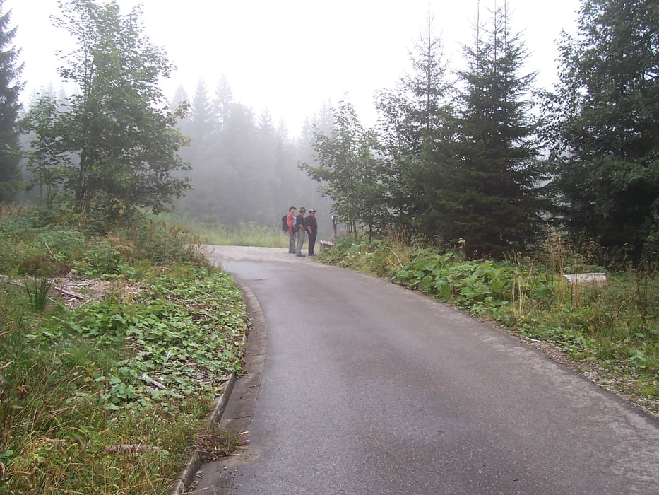
Vom Parkplatz Breitachklamm durch die Klamm (Eintritt) und sich am Oberen Ausgang nach links wenden. Über die Brücke den Waldweg bis zur Straße. Danach rechts an der Dornachalpe vorbei links hoch an der Sesselalpe vorbei immer der Straße nach. Nach ca. 1,5 Std. kommt rechts eine Abzweigung zur Osterbergalpe. Die Alpe ist sehr schön gelegen und man hat eine herrliche Ruhe. Bei schönem Wetter eine herrliche Aussicht ins Kleinwalsertal. Danach wieder zurück bis zur Straße und rechts Bergab zum Parkplatz.
galéria trás

Mapa trasy a výškový profil
Minimum height 829 m
Maximum height 1265 m
More about the tour author

|
Bomber |
komentáre

GPS trasy
Trackpoints-
GPX / Garmin Map Source (gpx) download
-
TCX / Garmin Training Center® (tcx) download
-
CRS / Garmin Training Center® (crs) download
-
Google Earth (kml) download
-
G7ToWin (g7t) download
-
TTQV (trk) download
-
Overlay (ovl) download
-
Fugawi (txt) download
-
Kompass (DAV) Track (tk) download
-
list trasy (pdf) download
-
Original file of the author (gpx) download
More about the tour author
|
|
Bomber |
Add to my favorites
Remove from my favorites
Edit tags
Open track
My score
Rate