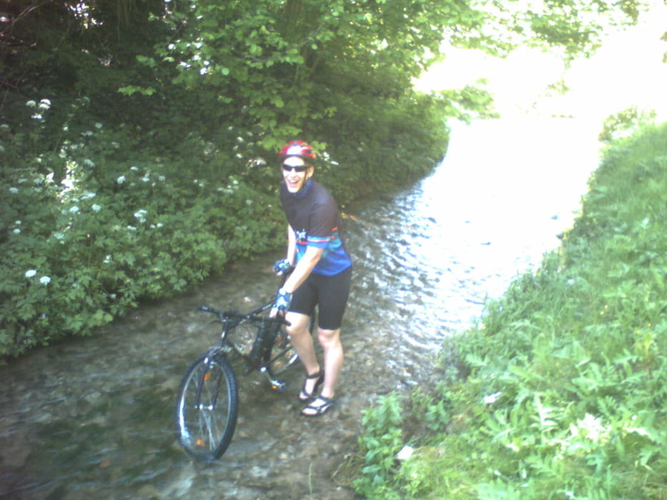
Bei schönen und warmen Wetter ist die Tour optimal, da uns diese Tour entlang und auch durch den Bach führt (nasse Füße!!).
Die Tour geht hauptsächlich über Wanderwege.
Die Tour geht hauptsächlich über Wanderwege.
Mapa trasy a výškový profil
Minimum height 352 m
Maximum height 553 m
komentáre

Start und Ziel ist der Bahnhof in Ochenbruck (PLZ 90592).
Mit dem Zug bis Bahnhof Ochenbruck.
Mit dem Auto über die BAB9 ausfahrt Feucht dann die B8 bis Zum Bahnhof Ochenbruck (Schwarzenbruck)
Mit dem Zug bis Bahnhof Ochenbruck.
Mit dem Auto über die BAB9 ausfahrt Feucht dann die B8 bis Zum Bahnhof Ochenbruck (Schwarzenbruck)
GPS trasy
Trackpoints-
GPX / Garmin Map Source (gpx) download
-
TCX / Garmin Training Center® (tcx) download
-
CRS / Garmin Training Center® (crs) download
-
Google Earth (kml) download
-
G7ToWin (g7t) download
-
TTQV (trk) download
-
Overlay (ovl) download
-
Fugawi (txt) download
-
Kompass (DAV) Track (tk) download
-
list trasy (pdf) download
Add to my favorites
Remove from my favorites
Edit tags
Open track
My score
Rate


