Login

Zabudli ste prihlasovacia meno

Cookies have to be accepted!
Your browser's cookie functionality is disabled. Please enable this functionality.

Not a member yet?

Register now
Login

Available for registred users only

Log in to use this feature.

Zabudli ste prihlasovacia meno

Cookies have to be accepted!
Your browser's cookie functionality is disabled. Please enable this functionality.

Not a member yet?

Register now
Filter
Kategórie
Advanced filters
  • Dĺžka (km)
  • výškomer
Uložiť filter Reset filter

TrackRank

QRCode

Technical data

Dĺžka6,6 km výškomer151 m Way down151 m Doba01:20 h:m dátum11.10.2009
ohodnotenia Author Kraj pôžitok z túry kondícia technika

štatistika

815 náhľady ohodnotenia 93 Stiahnutia priemer
Rate
  • list trasy
  • príjazd
  • Stiahnutia

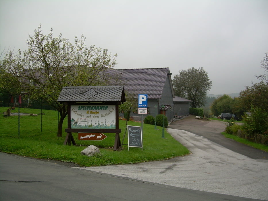
Kleine Runde um die Eschbachtalsperre.

Ein kleines Stück geht es ohne Weg durch's Gelände, dann muß ein Bach überquert werden, es gibt keine Brücke. Ich habe es allerdinds ohne nasse Füße zu bekommen geschaft - die Wanderschuhe sind allerdings leicht nass geworden.

Nette kleine Runde!


Further information at

http://www.wandern-in-wuppertal.de

galéria trás

Mapa trasy a výškový profil

  • Open Street Map
  • Google
Minimum height 240 m Maximum height 307 m Detailný pohľad

More about the tour author

Uerigefan
Member since 2009

Send private message

komentáre


Auto Navi:         Buchholzen 14,  42897 Remscheid

GPS trasy

Trackpoints
  • GPX / Garmin Map Source (gpx) download
  • TCX / Garmin Training Center® (tcx) download
  • CRS / Garmin Training Center® (crs) download
  • Google Earth (kml) download
  • G7ToWin (g7t) download
  • TTQV (trk) download
  • Overlay (ovl) download
  • Fugawi (txt) download
  • Kompass (DAV) Track (tk) download
  • list trasy (pdf) download
  • Original file of the author (gpx) download

More about the tour author

Uerigefan
Member since 2009

Send private message
Share track
Add to my favorites
Remove from my favorites
Edit tags
My score
Rate
trasa: Um die Eschbachtalsperre - mit Sprung über einen Bach
Druh: trasa
Dĺžka: 6,6 km
Evaluated on:
Doba:
Day(s)
Hour(s)
Minute(s)
ohodnotenie: Kraj pôžitok z túry kondícia technika