

Die Tour beginnt in Balduinstein am Parkplatz Ortseingang von dort dem Weißen L auf Schwarzem Grund folgen.Der Weg ist sehr gut ausgeschildert
-Zur Schaumburg-Höllenloch-Steinsberg-Kloster Arnstein Jammertal-Singhofen-Mühlbachtal-Nassau-Misselberg-Bad Ems-Miellen -Schweitzer Tal -Frücht Lahnstein
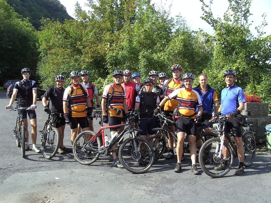
Die Tour führt überwiegend über Trails mit einzelnen Schiebepassagen
Die Tour endet in Lahnstein von wo es mit der Bahn wieder bis Balduinstein zurück geht
Die GPS Daten wurden am 16.9 2011 geändert da ein Wegstück wegen Forstarbeiten nicht mehr zu befahren ist
Die Tour wurde im Herbst 2011 zu einer 3 Tages Tour mit 2 Übernachtungen in Lahnstein erweitert
Mapa trasy a výškový profil
Minimum height 80 m
Maximum height 375 m
More about the tour author

|
Pfeilschnell |
komentáre

GPS trasy
Trackpoints-
GPX / Garmin Map Source (gpx) download
-
TCX / Garmin Training Center® (tcx) download
-
CRS / Garmin Training Center® (crs) download
-
Google Earth (kml) download
-
G7ToWin (g7t) download
-
TTQV (trk) download
-
Overlay (ovl) download
-
Fugawi (txt) download
-
Kompass (DAV) Track (tk) download
-
list trasy (pdf) download
-
Original file of the author (gpx) download
More about the tour author
|
|
Pfeilschnell |
Add to my favorites
Remove from my favorites
Edit tags
Open track
My score
Rate