


Waldwanderung am Abend.
Eine nette Wanderung mit Startschwirigkeiten.
Wer die Wanderung widerholen will, soll bitte vor dem Bahnübergang in Richtung Bahnhof abbiegen um auf meinem Rückweg den Einstieg in die Runde zu machen. Ich weiß, da gibt es einen kleinen Wegweiser, den habe ich aber übersehen.
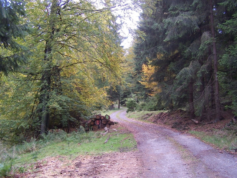
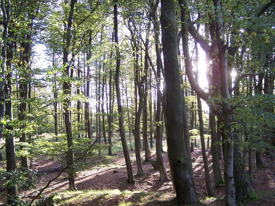
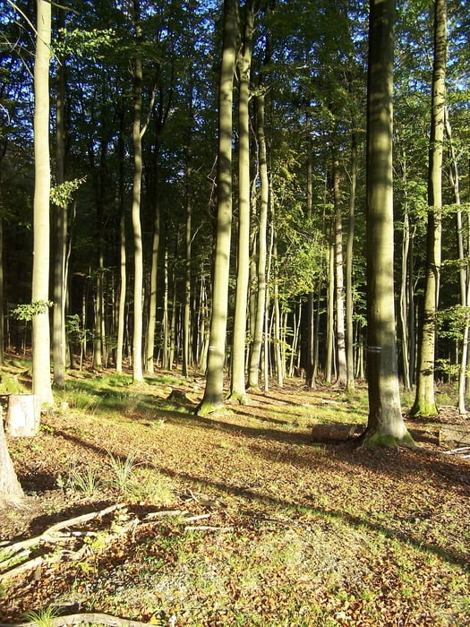
Der Rest der Tour ist schön, verläuft überwiegend auf angenehmen Waldwegen. Der Gipfel ist schön und hat mich ein klein wenig überrascht. (Bielsteins Kirche). Auch nett ist Lewalter Brunnen. Der Abstecher ist lohnend.
Further information at
http://www.gemeinde-helsa.de/w3a/default.jspgaléria trás
Mapa trasy a výškový profil
Minimum height 198 m
Maximum height 531 m
More about the tour author
|
|
Pheinz |
komentáre

Im Ortskern geht es los.
GPS trasy
Trackpoints-
GPX / Garmin Map Source (gpx) download
-
TCX / Garmin Training Center® (tcx) download
-
CRS / Garmin Training Center® (crs) download
-
Google Earth (kml) download
-
G7ToWin (g7t) download
-
TTQV (trk) download
-
Overlay (ovl) download
-
Fugawi (txt) download
-
Kompass (DAV) Track (tk) download
-
list trasy (pdf) download
-
Original file of the author (gpx) download
More about the tour author
|
|
Pheinz |
Add to my favorites
Remove from my favorites
Edit tags
Open track
My score
Rate