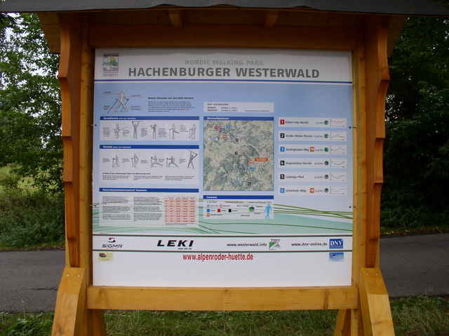
Eine leichte Runde um den Gräbersberg beginnt auf dem Parkplatz oberhalb Alpenrod. Sie führt zuerst auf asphaltiertem Weg rechts am Waldrand entlang, dann auf Schotter- und Waldwegen über den Gehlerten Bach bis zum Europäischen Fernwanderweg E1 und schließlich zu den Windrädern und dem Aussichtsturm mit Gastronomie.
galéria trás
Mapa trasy a výškový profil
Minimum height 446 m
Maximum height 514 m
komentáre
Von der B 255 in Langenhahn auf die L 281 Richtung Hachenburg und durch Alpenrod aufwärts zum Aussichtsturm.(200m unterhalb des Turmes liegt der Parkplatz mit Orientierungsschild)
GPS trasy
Trackpoints-
GPX / Garmin Map Source (gpx) download
-
TCX / Garmin Training Center® (tcx) download
-
CRS / Garmin Training Center® (crs) download
-
Google Earth (kml) download
-
G7ToWin (g7t) download
-
TTQV (trk) download
-
Overlay (ovl) download
-
Fugawi (txt) download
-
Kompass (DAV) Track (tk) download
-
list trasy (pdf) download
Add to my favorites
Remove from my favorites
Edit tags
Open track
My score
Rate


nette Runde