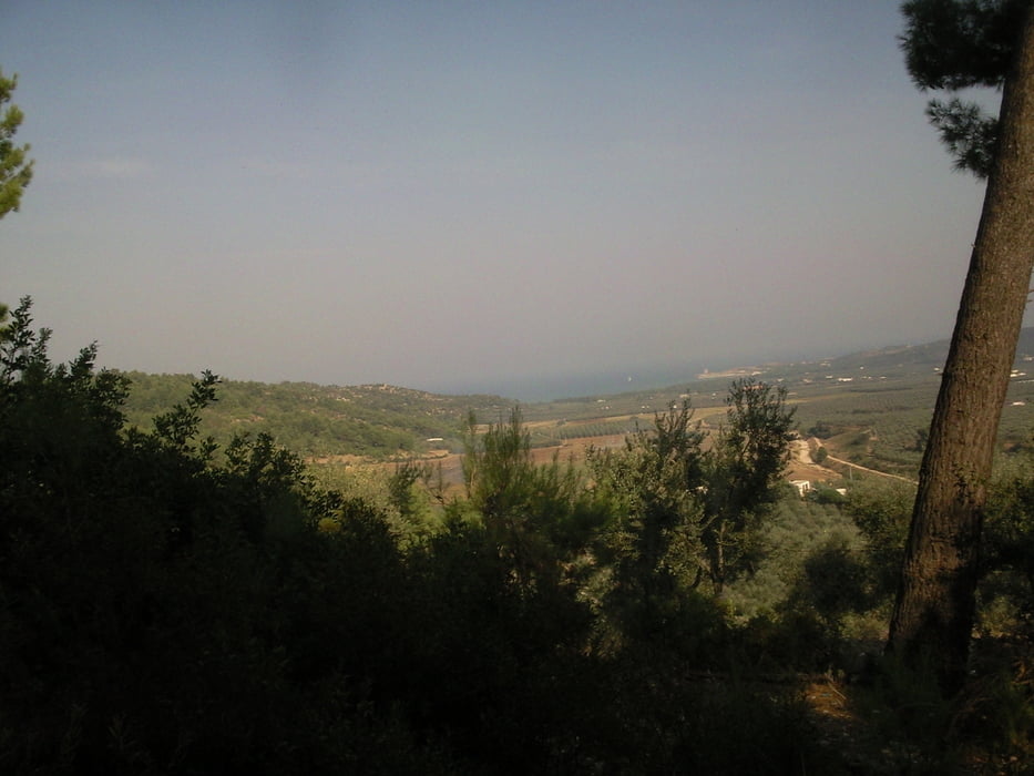
Schöne kleine Abendrunde mit interessantem Anstieg auf grobem Schotterweg.
Für die Anstrengung wird man durch beeindruckende Aussichten belohnt.
Mehrfach genießt man die hügelige Gargano- Landschaft, die sich an die tiefblaue Adria anschmiegt.
Im Anschluss daran, gibt es eine heiße Singletrail- Abfahrt durch die Macchia
Incl. Durchquerung eines ausgetrockneten Flusses.
Mapa trasy a výškový profil
Minimum height 8 m
Maximum height 264 m
komentáre
Einstieg ist zwischen Vieste und Peschici, bei Sfinale (Gargano-Bike-Trail) links bergauf.
GPS trasy
Trackpoints-
GPX / Garmin Map Source (gpx) download
-
TCX / Garmin Training Center® (tcx) download
-
CRS / Garmin Training Center® (crs) download
-
Google Earth (kml) download
-
G7ToWin (g7t) download
-
TTQV (trk) download
-
Overlay (ovl) download
-
Fugawi (txt) download
-
Kompass (DAV) Track (tk) download
-
list trasy (pdf) download
-
Original file of the author (gpx) download
Add to my favorites
Remove from my favorites
Edit tags
Open track
My score
Rate


Kleine Abendrunde
Toller Singletrail abwärts. Keine Schiebepssagen.
Danke und bitte mehr davon.
Na ja...
Kurze Runde